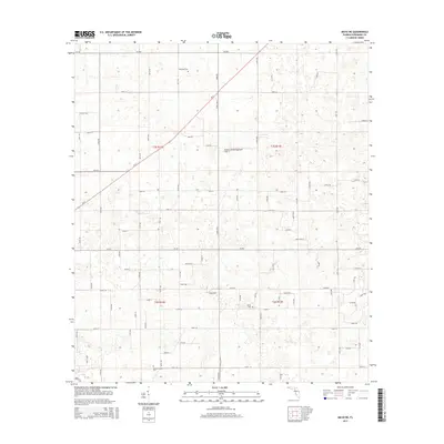
2015 Map of Mayo NE
USGS Topo · Published 2015About this map
Claywood Cem and Smith Cem sit within a landscape of rural Suwannee County, defined by a rigid grid of local roads and the occasional diagonal of a local thoroughfare. This 2015 survey reveals the persistence of family and community landmarks, such as Mount Willing Cem in the southern reaches of the map, amidst the agricultural and forested terrain of Florida's northern interior. The presence of the private Cooksey Brothers Airport near the center of the sheet highlights the reliance on small-scale aviation in these less densely populated regions. While arterial routes like CR-250 and CR-252 provide primary east-west transit, the land is largely subdivided into sections, reflecting the enduring legacy of the Public Land Survey System that shaped this part of the state.
Find a feature on this map
39 named features on this map. Tap any name to fly to it.
Don’t see what you’re looking for? This feature index may not catch every label — zoom into the map to look around manually.
Map Details
Editions of this 2015 Mayo NE Map
This is the sole edition of this map. No revisions or reprints were ever made.
Other maps of this area

1954 · Dowling Park
USGS Topo · 1:24,000

1954 · Valdosta
USGS Topo · 1:250,000

1955 · Mayo NE
USGS Topo · 1:24,000

1955 · Mayo
USGS Topo · 1:24,000

1955 · Mayo SE
USGS Topo · 1:24,000

1958 · Valdosta
USGS Topo · 1:250,000

1959 · Valdosta
USGS Topo · 1:250,000

1959 · Live Oak West
USGS Topo · 1:24,000

1959 · Falmouth
USGS Topo · 1:24,000

1961 · Live Oak East
USGS Topo · 1:24,000