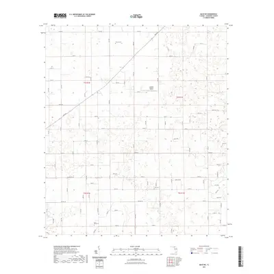
2021 Map of Mayo NE
USGS Topo · Published 2021About this map
Claywood Cem, Mount Willing Cem, and Smith Cem anchor this 2021 topographic map of northeastern Suwannee County, reflecting the deep-rooted family history of the North Florida rural landscape. The area is defined by a dense network of numbered roads and county routes, including Co Rd 250 and Irvin Ave, which cross the township and range lines of the Public Land Survey System. The presence of the Cooksey Brothers Airport indicates the contemporary use of large private land tracts for aviation in this agricultural and woodland region. These labels reveal the continuity of rural settlement patterns where private cemeteries and family-named roads like Moore Rd and Holmes Rd serve as primary landmarks for local genealogists and researchers.
Find a feature on this map
75 named features on this map. Tap any name to fly to it.
Don’t see what you’re looking for? This feature index may not catch every label — zoom into the map to look around manually.
Map Details
Editions of this 2021 Mayo NE Map
This is the sole edition of this map. No revisions or reprints were ever made.
Other maps of this area

1954 · Dowling Park
USGS Topo · 1:24,000

1954 · Valdosta
USGS Topo · 1:250,000

1955 · Mayo NE
USGS Topo · 1:24,000

1955 · Mayo
USGS Topo · 1:24,000

1955 · Mayo SE
USGS Topo · 1:24,000

1958 · Valdosta
USGS Topo · 1:250,000

1959 · Valdosta
USGS Topo · 1:250,000

1959 · Live Oak West
USGS Topo · 1:24,000

1959 · Falmouth
USGS Topo · 1:24,000

1961 · Live Oak East
USGS Topo · 1:24,000