Loading...
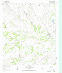
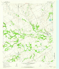
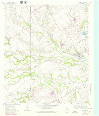
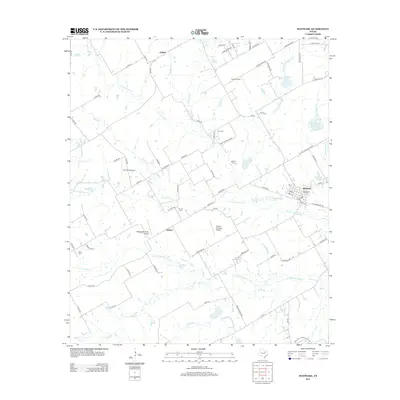
Loading map...1961 Map of Maypearl
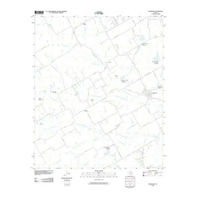
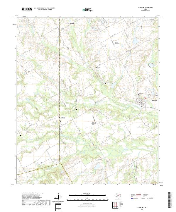
USGS Topo · Published 1963About this map
The Missouri Pacific railroad corridor serves as a primary axis for development across the Blackland Prairie, connecting the small community of Maypearl with surrounding agricultural hamlets like Auburn and Griffith during the early 1960s. The landscape is defined by the complex drainage network of Chambers Creek and its many branches, including the North Fork and South Fork, which carve through the terrain of Johnson and Ellis counties.
Find a feature on this map
28 named features on this map. Tap any name to fly to it.
Don’t see what you’re looking for? This feature index may not catch every label — zoom into the map to look around manually.
Map Details
Date Portrayed1961
Date Published1963
PublisherU.S. Geological Survey
Map TypeTopographic
Scale1:24,000
Physical Dimensions23 x 27 inches
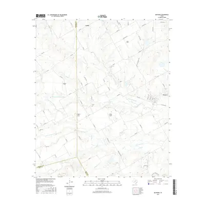
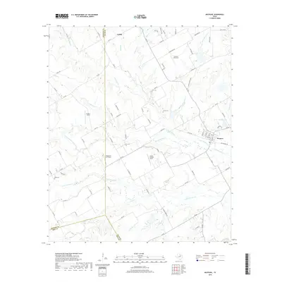
Editions of this 1961 Maypearl Map
Historical Maps of Maypearl Through Time
6 maps found
Featured Locations
Source Details
SourceU.S. Geological Survey
CopyrightPublic Domain