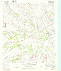
1961 Map of Maypearl
USGS Topo · Published 1979About this map
Maypearl and the surrounding Ellis County landscape are defined here by a dense network of creek branches and farm-to-market roads. The terrain is dominated by the sprawling tributaries of the Chambers Creek system, including the North Fork Chambers Creek and South Fork Chambers Creek. This 1961 field-checked survey, later updated with photorevisions in the late 1970s, captures the rural character of central Texas before significant modern expansion. Notable family and community landmarks are scattered across the quadrangle, including the Ozro Cem and Jackson Cem, as well as the Griffith Chapel in the northern reaches near Griffith. The presence of small settlements like Auburn and features such as the Gravel Pit along the riverbanks suggest a quiet economy based on agriculture and local extraction, while the fine red dashed lines indicate the legacy of historic fence and field boundaries visible from the air.
Find a feature on this map
25 named features on this map. Tap any name to fly to it.
Don’t see what you’re looking for? This feature index may not catch every label — zoom into the map to look around manually.
Map Details
Editions of this 1961 Maypearl Map
Other maps of this area

1891 · Cleburne
USGS Topo · 1:125,000

1894 · Cleburne
USGS Topo · 1:125,000

1954 · Dallas
USGS Topo · 1:250,000

1958 · Dallas
USGS Topo · 1:250,000

1960 · Boz
USGS Topo · 1:24,000
1961 · Maypearl
USGS Topo · 1:24,000

1961 · Alvarado
USGS Topo · 1:24,000
1961 · Midlothian
USGS Topo · 1:24,000
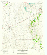
1961 · Venus
USGS Topo · 1:24,000
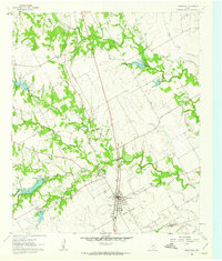
1961 · Grandview
USGS Topo · 1:24,000