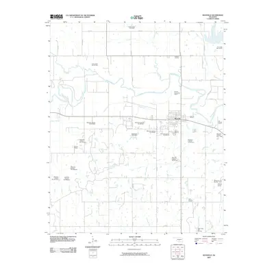
2009 Map of Maysville
USGS Topo · Published 2009About this map
The town of Maysville sits at the heart of this landscape, established near the meandering path of the Washita River and its various tributaries. The region is defined by a dense network of water management features, including a series of structures like the Maysville Laterals Site B1 Dam and Finn Creek Site 2 Dam that regulate local drainage and erosion. This 2009 survey reveals an area deeply intertwined with the energy industry, as evidenced by several designated petroleum zones such as the Maysville Oil Field and the North Antioch Oil Field. These industrial sites share the land with agricultural sections and local landmarks like the Maysville Cemetery and Randolph Cemetery. Aviation infrastructure is also prominent in the area, with the Burford Corporation Airport located just east of the main settlement and Grimes Airport serving the western reaches near the terrain of Happy Hollow.
Find a feature on this map
49 named features on this map. Tap any name to fly to it.
Don’t see what you’re looking for? This feature index may not catch every label — zoom into the map to look around manually.
Map Details
Editions of this 2009 Maysville Map
This is the sole edition of this map. No revisions or reprints were ever made.
Other maps of this area

1898 · Pauls Valley
USGS Topo · 1:125,000

1902 · Pauls Valley
USGS Topo · 1:125,000

1902 · Rush Springs
USGS Topo · 1:125,000

1957 · Ardmore
USGS Topo · 1:250,000

1963 · Ardmore
USGS Topo · 1:250,000
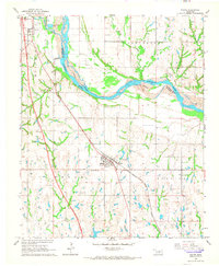
1965 · Wayne
USGS Topo · 1:24,000

1965 · Maysville
USGS Topo · 1:24,000

1965 · Paoli
USGS Topo · 1:24,000
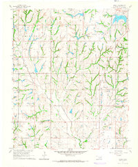
1965 · Stealy
USGS Topo · 1:24,000

1966 · Lindsay
USGS Topo · 1:24,000