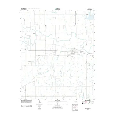
2012 Map of Maysville
USGS Topo · Published 2012About this map
The Washita River meanders across the northern Oklahoma landscape, anchoring a region defined by the intersection of traditional agriculture and a persistent energy economy. In the town of Maysville, a clear grid of streets including Main St and Park View Dr transitions into an active industrial zone. The area is dotted with significant petroleum infrastructure, notably the Maysville Oil Field and the East Maysville Oil Field, which extend eastward from the town center. To the north, the small settlement of Story sits near the winding banks of Criner Cr, while several smaller water bodies like Beef Cr and Finn Cr drain the surrounding plains. Local heritage is preserved at the Maysville Cem and Randolph Cem, while Grimes Airport serves the community's aviation needs amidst a landscape of section-line roads and reservoir sites like Finn Creek Site 2 Reservoir.
Find a feature on this map
58 named features on this map. Tap any name to fly to it.
Don’t see what you’re looking for? This feature index may not catch every label — zoom into the map to look around manually.
Map Details
Editions of this 2012 Maysville Map
This is the sole edition of this map. No revisions or reprints were ever made.
Other maps of this area

1898 · Pauls Valley
USGS Topo · 1:125,000

1902 · Pauls Valley
USGS Topo · 1:125,000

1902 · Rush Springs
USGS Topo · 1:125,000

1957 · Ardmore
USGS Topo · 1:250,000

1963 · Ardmore
USGS Topo · 1:250,000
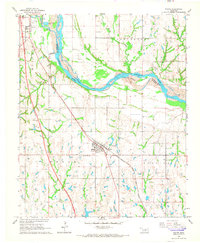
1965 · Wayne
USGS Topo · 1:24,000

1965 · Maysville
USGS Topo · 1:24,000

1965 · Paoli
USGS Topo · 1:24,000
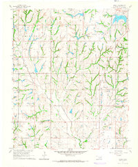
1965 · Stealy
USGS Topo · 1:24,000

1966 · Lindsay
USGS Topo · 1:24,000