Loading...
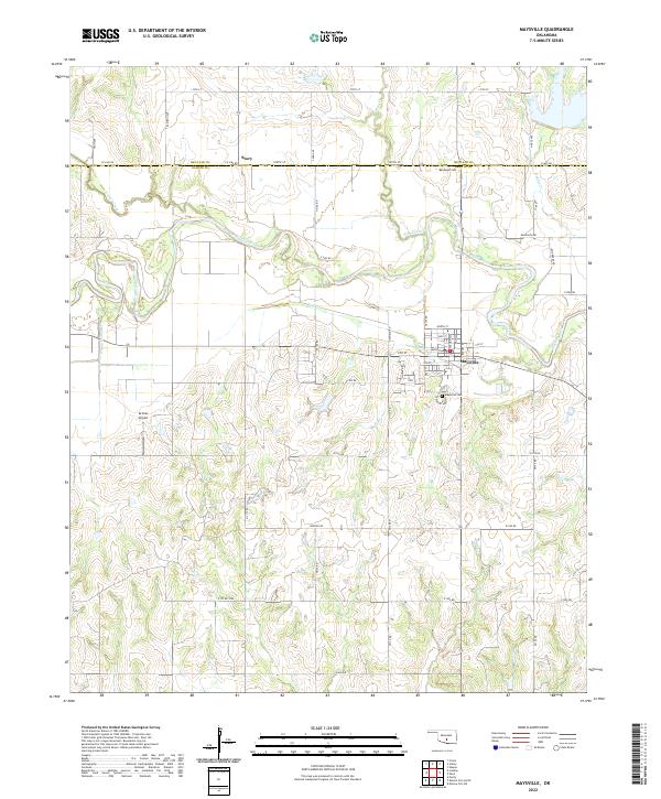
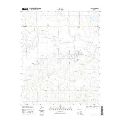
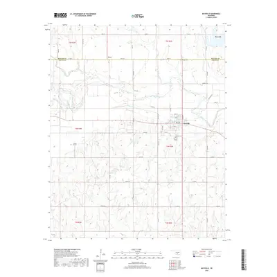
Loading map...2022 Map of Maysville
USGS Topo · Published 2022About this map
Maysville serves as the primary hub of activity in this region, situated just south of the Washita River and north of its own historic Maysville Cem. The town's grid is anchored by Main St and Williams St, illustrating a traditional settlement pattern along the river valley. To the north, the small community of Story sits right on the border between McClain Co and Garvin Co, marked by the crossing of Ladd Ave and Co Line Rd.
Find a feature on this map
57 named features on this map. Tap any name to fly to it.
Don’t see what you’re looking for? This feature index may not catch every label — zoom into the map to look around manually.
Map Details
Date Portrayed2022
Date Published2022
PublisherU.S. Geological Survey
Map TypeTopographic
Scale1:24,000
Physical Dimensions24 x 29 inches
Editions of this 2022 Maysville Map
This is the sole edition of this map. No revisions or reprints were ever made.
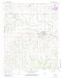
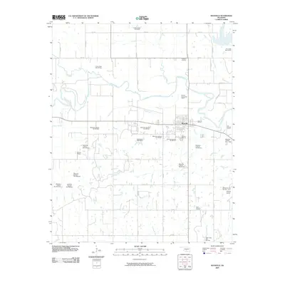
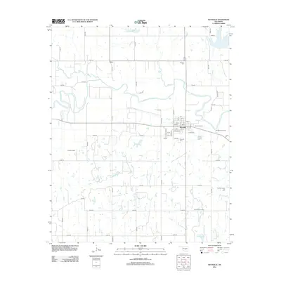
Historical Maps of Maysville Through Time
6 maps found
Featured Locations
Source Details
SourceU.S. Geological Survey
CopyrightPublic Domain