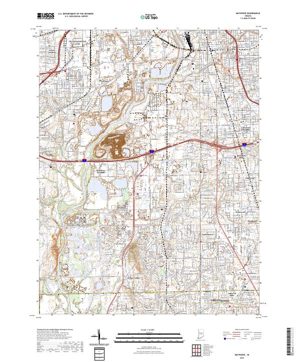
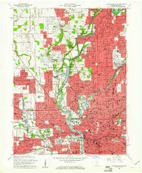
2022 Map of Maywood
USGS Topo · Published 2022About this map
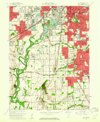
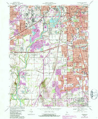
White River flows southward through this detailed corridor south of Indianapolis, defining the landscape between the University of Indianapolis and the northern edge of Greenwood. The map reveals a dense network of suburban development and historical burial grounds, including the large Calvary Cemetery and Holy Cross and Saint Joseph Cemetery near the confluence of Lick Creek and the river.
Find a feature on this map
79 named features on this map. Tap any name to fly to it.
Don’t see what you’re looking for? This feature index may not catch every label — zoom into the map to look around manually.
Map Details
Editions of this 2022 Maywood Map
This is the sole edition of this map. No revisions or reprints were ever made.
Historical Maps of Indianapolis Through Time
20 maps found
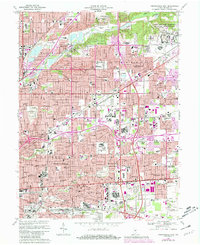
1948 Indianapolis East
Marion County, IN
1948 Indianapolis West
Marion County, IN
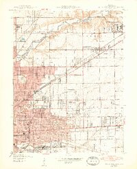
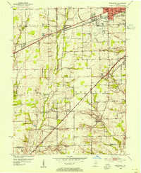
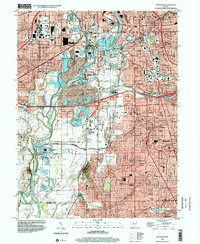
1948 Maywood
Marion County, IN
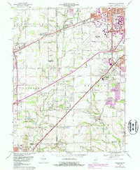
1953 Bridgeport
Marion County, IN
1959 Bridgeport
Marion County, IN
1959 Indianapolis East
Marion County, IN
1959 Indianapolis West
Marion County, IN
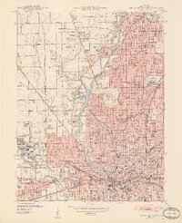
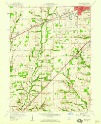
1959 Maywood
Marion County, IN
1966 Bridgeport
Marion County, IN
1967 Indianapolis East
Marion County, IN
1967 Indianapolis West
Marion County, IN
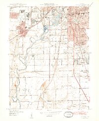
1967 Maywood
Marion County, IN
1998 Bridgeport
Marion County, IN
1998 Indianapolis East
Marion County, IN
1998 Indianapolis West
Marion County, IN
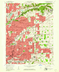
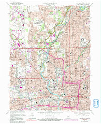
1998 Maywood
Marion County, IN
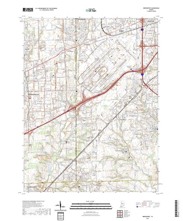
2022 Bridgeport
Marion County, IN
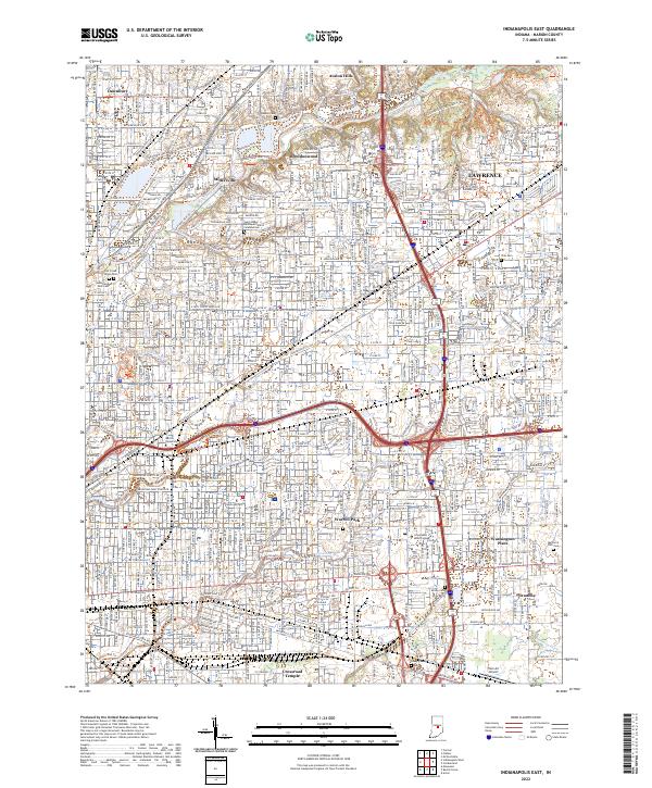
2022 Indianapolis East
Marion County, IN
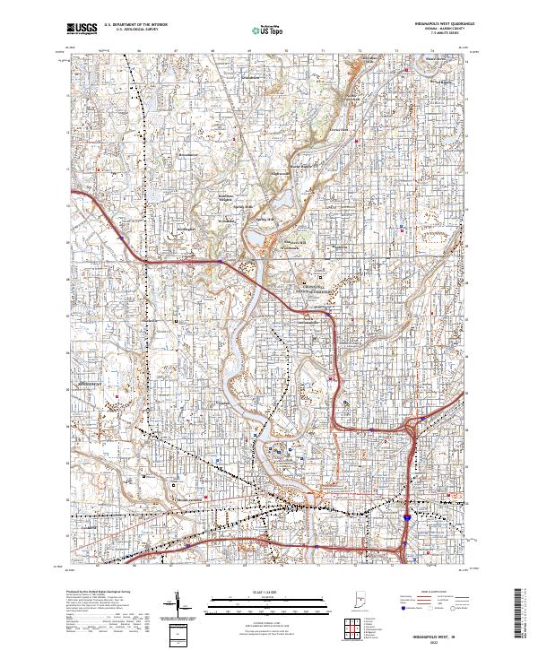
2022 Indianapolis West
Marion County, IN
2022 Maywood
Marion County, IN
Featured Locations
- Greenwood, IN
- Indianapolis, IN
- Homecroft, Indianapolis
- Southport, Indianapolis
- Glenns Valley, Indianapolis