
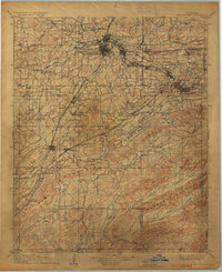
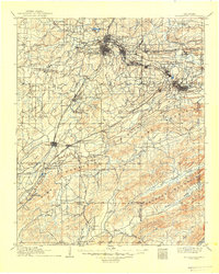
1909 Map of Mc Alester
USGS Topo · Published 1909About this map
The Choctaw Nation's industrial and coal-mining landscape is documented during a period of rapid development following the 1908 culture revision. Centered on McAlester and North McAlester, the map reveals a dense network of mining towns and settlements stretching eastward, including Krebs, Alderson, and Hartshorne. This corridor is defined by the Choctaw Oklahoma and Gulf RR, which served the region's productive coal fields.
Find a feature on this map
71 named features on this map. Tap any name to fly to it.
Don’t see what you’re looking for? This feature index may not catch every label — zoom into the map to look around manually.
Map Details
Editions of this 1909 Mc Alester Map
3 editions found
Other maps of this area

1896 · Coalgate
USGS Topo · 1:125,000

1898 · McAlester
USGS Topo · 1:125,000

1899 · Coalgate
USGS Topo · 1:125,000

1899 · Atoka
USGS Topo · 1:125,000

1900 · Sansbois
USGS Topo · 1:125,000

1900 · Canadian
USGS Topo · 1:125,000

1900 · Wewoka
USGS Topo · 1:125,000

1900 · Atoka
USGS Topo · 1:125,000

1900 · Coalgate
USGS Topo · 1:125,000

1901 · Antlers
USGS Topo · 1:125,000