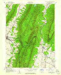
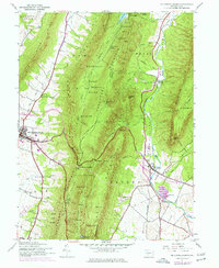
1944 Map of Mc Connellsburg
USGS Topo · Published 1960About this map
The high ridges of Tuscarora Mountain and Cove Mountain dominate this mid-century landscape on the border of Fulton and Franklin Counties. These massive folds of the Appalachians are largely preserved within the Buchanan State Forest, with recreational hubs like Cowan Gap Lake providing a centerpiece for the surrounding State Game Refuge. The transport network of the era is defined by U.S. 30, which winds over the peaks at Buchanan Summit and Tuscarora Summit, linking the valley floor at Mc Connellsburg with the historic community of Fort Loudon to the east.
Find a feature on this map
58 named features on this map. Tap any name to fly to it.
Don’t see what you’re looking for? This feature index may not catch every label — zoom into the map to look around manually.
Map Details
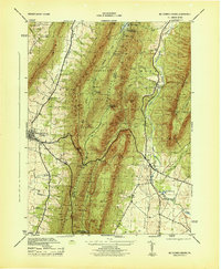
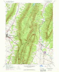
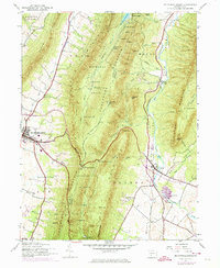
Editions of this 1944 Mc Connellsburg Map
5 editions found
Other maps of this area

1900 · Mercersburg
USGS Topo · 1:62,500

1902 · Mercersburg
USGS Topo · 1:62,500

1925 · Needmore
USGS Topo · 1:48,000

1930 · Broad Top
USGS Topo · 1:62,500

1933 · Broad Top
USGS Topo · 1:62,500

1935 · Needmore
USGS Topo · 1:62,500

1939 · Needmore
USGS Topo · 1:62,500

1939 · Orbisonia
USGS Topo · 1:62,500

1940 · Orbisonia
USGS Topo · 1:62,500

1942 · Hagerstown
USGS Topo · 1:125,000