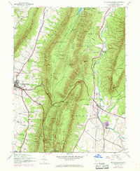
1944 Map of Mc Connellsburg
USGS Topo · Published 1969About this map
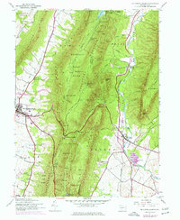
Mc Connellsburg serves as the focal point for this survey of the South-Central Pennsylvania mountains, where the deep north-south ridges of Cove Mountain and Tuscarora Mountain define the region's movement and settlement. The map highlights the transition from the forested heights of the Buchanan State Forest to the productive lowlands of Path Valley. Traces of the region's industrial and agricultural character are evident in features like Richmond Furnace and the Fish Hatchery near Fort Loudon. Local education is documented through rural landmarks like McGovern Sch and Jugtown Sch, while the transportation corridor is marked by the presence of the Penn Central rail line and the PA Turnpike. Numerous springs, such as Sand Spring and Richmond Spring, illustrate the natural drainage systems that have historically supported these ridge-and-valley communities.
Find a feature on this map
62 named features on this map. Tap any name to fly to it.
Don’t see what you’re looking for? This feature index may not catch every label — zoom into the map to look around manually.
Map Details
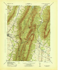
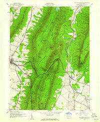
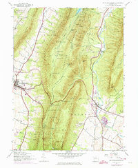
Editions of this 1944 Mc Connellsburg Map
5 editions found
Other maps of this area

1900 · Mercersburg
USGS Topo · 1:62,500

1902 · Mercersburg
USGS Topo · 1:62,500

1925 · Needmore
USGS Topo · 1:48,000

1930 · Broad Top
USGS Topo · 1:62,500

1933 · Broad Top
USGS Topo · 1:62,500

1935 · Needmore
USGS Topo · 1:62,500

1939 · Needmore
USGS Topo · 1:62,500

1939 · Orbisonia
USGS Topo · 1:62,500

1940 · Orbisonia
USGS Topo · 1:62,500

1942 · Hagerstown
USGS Topo · 1:125,000