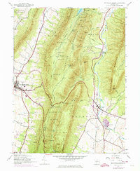
1944 Map of Mc Connellsburg
USGS Topo · Published 1974About this map
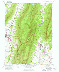
Mc Connellsburg serves as the focal point of this mid-century landscape, positioned where the valley floor meets the steep ascent of Cove Mountain. The map reveals a region defined by its narrow valleys and ridges, with Buchanan State Forest and multiple State Game Refuges covering the high ground. Notable for local historians is the industrial and agricultural infrastructure, including the Richmond Furnace and the Fish Hatchery near Fort Loudon. The transportation network is anchored by the Penn Central rail line and historic routes like Path Valley. Smaller settlements and rural landmarks such as Dutchtown, Cito, and educational sites like McGovern Sch and Jugtown Sch provide a detailed look at the social geography of the area during the 1940s, with later updates showing the development of Cowans Gap Lake.
Find a feature on this map
62 named features on this map. Tap any name to fly to it.
Don’t see what you’re looking for? This feature index may not catch every label — zoom into the map to look around manually.
Map Details
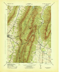
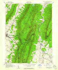
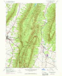
Editions of this 1944 Mc Connellsburg Map
5 editions found
Other maps of this area

1900 · Mercersburg
USGS Topo · 1:62,500

1902 · Mercersburg
USGS Topo · 1:62,500

1925 · Needmore
USGS Topo · 1:48,000

1930 · Broad Top
USGS Topo · 1:62,500

1933 · Broad Top
USGS Topo · 1:62,500

1935 · Needmore
USGS Topo · 1:62,500

1939 · Needmore
USGS Topo · 1:62,500

1939 · Orbisonia
USGS Topo · 1:62,500

1940 · Orbisonia
USGS Topo · 1:62,500

1942 · Hagerstown
USGS Topo · 1:125,000