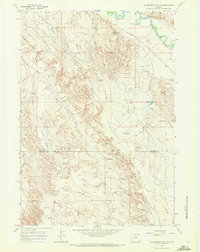
1967 Map of Mc Dermotts Butte
USGS Topo · Published 1971About this map
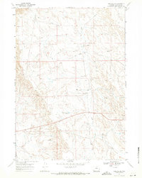
Bonanza Oil Field dominates the eastern landscape of this Wyoming quadrangle, where a network of pipelines and pumping stations reflects the mid-century energy economy. Near the Nowood River, the Bonanza Cem stands as a quiet marker of early settlement history. The terrain is defined by deep drainages like Deadman Gulch and Murphy Gulch, which channel toward the river valley.
Find a feature on this map
23 named features on this map. Tap any name to fly to it.
Don’t see what you’re looking for? This feature index may not catch every label — zoom into the map to look around manually.
Map Details
Editions of this 1967 Mc Dermotts Butte Map
2 editions found
Other maps of this area

1955 · Sheridan
USGS Topo · 1:250,000

1958 · Sheridan
USGS Topo · 1:250,000

1960 · Manderson
USGS Topo · 1:24,000

1960 · Flitner Reservoir
USGS Topo · 1:24,000

1960 · Manderson SE
USGS Topo · 1:24,000

1962 · Sheridan
USGS Topo · 1:250,000
1967 · Weintz Draw
USGS Topo · 1:24,000
1967 · Broom Draw
USGS Topo · 1:24,000
1967 · Worland SE
USGS Topo · 1:24,000
1967 · Worland
USGS Topo · 1:24,000