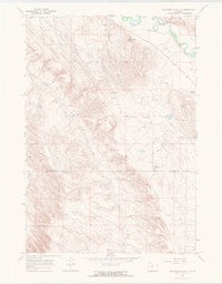
1967 Map of McDermotts Butte
USGS Topo · Published 1971About this map
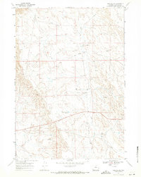
Bonanza Field defines the industrial character of this Big Horn and Washakie County borderlands area in the late 1960s. The landscape is heavily marked by energy extraction, featuring numerous drill holes, oil wells, and the Bonanza Pumping Sta, all interconnected by a network of pipelines. For genealogists, the Bonanza Cem serves as a vital record of the early settlers who worked this land. Water management is equally prominent, with the Nowood River feeding the Avant Ditch in the north, while a series of reservoirs including Bonanza Res No 1 and Lapula Reservoir are scattered across the arid terrain. The prominent McDermotts Butte stands as a landmark above the drainage of Durphy Gulch and Deadman Gulch.
Find a feature on this map
22 named features on this map. Tap any name to fly to it.
Don’t see what you’re looking for? This feature index may not catch every label — zoom into the map to look around manually.
Map Details
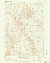
Editions of this 1967 McDermotts Butte Map
2 editions found
Other maps of this area

1955 · Sheridan
USGS Topo · 1:250,000

1958 · Sheridan
USGS Topo · 1:250,000

1960 · Manderson
USGS Topo · 1:24,000

1960 · Flitner Reservoir
USGS Topo · 1:24,000

1960 · Manderson SE
USGS Topo · 1:24,000

1962 · Sheridan
USGS Topo · 1:250,000
1967 · Weintz Draw
USGS Topo · 1:24,000
1967 · Broom Draw
USGS Topo · 1:24,000
1967 · Worland SE
USGS Topo · 1:24,000
1967 · Worland
USGS Topo · 1:24,000