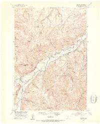
1951 Map of Mc Leod
USGS Topo · Published 1953About this map
The Boulder River valley in south-central Montana is defined by an intricate network of irrigation canals and a legacy of early high-country settlement. In the early 1950s, the landscape around Mc Leod was dominated by large-scale water management projects, including the Smoot Ditch, Mc Comb Ditch, and Schmidelkoffer-Dutton-Vogers Ditch, which directed water from the river to the surrounding benchlands.
Find a feature on this map
39 named features on this map. Tap any name to fly to it.
Don’t see what you’re looking for? This feature index may not catch every label — zoom into the map to look around manually.
Map Details
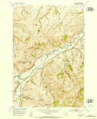
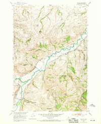
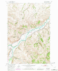
Editions of this 1951 Mc Leod Map
4 editions found
Other maps of this area

1891 · Livingston
USGS Topo · 1:250,000

1891 · Big Timber
USGS Topo · 1:125,000

1893 · Livingston
USGS Topo · 1:250,000

1893 · Big Timber
USGS Topo · 1:125,000

1947 · Bozeman
USGS Topo · 1:250,000

1948 · Bozeman
USGS Topo · 1:250,000

1951 · Squaw Peak
USGS Topo · 1:24,000

1951 · Kelly Hills
USGS Topo · 1:24,000

1951 · Springdale
USGS Topo · 1:24,000

1951 · Mc Leod Basin
USGS Topo · 1:24,000