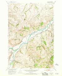
1951 Map of Mc Leod
USGS Topo · Published 1969About this map
Mc Leod serves as a central point in this early 1950s landscape, where the Boulder River winds through Sweet Grass County. The map is a remarkable record of homesteading history, documenting numerous sites noted as abandoned by 1951, including the Hovseth Homestead, Seaforth Homestead, and Thurman Homestead. This pattern of settlement and departure suggests the challenging nature of the terrain on the edge of the Gallatin National Forest.
Find a feature on this map
54 named features on this map. Tap any name to fly to it.
Don’t see what you’re looking for? This feature index may not catch every label — zoom into the map to look around manually.
Map Details
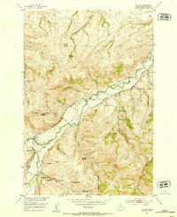
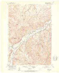
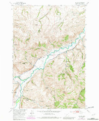
Editions of this 1951 Mc Leod Map
4 editions found
Other maps of this area

1891 · Livingston
USGS Topo · 1:250,000

1891 · Big Timber
USGS Topo · 1:125,000

1893 · Livingston
USGS Topo · 1:250,000

1893 · Big Timber
USGS Topo · 1:125,000

1947 · Bozeman
USGS Topo · 1:250,000

1948 · Bozeman
USGS Topo · 1:250,000

1951 · Squaw Peak
USGS Topo · 1:24,000

1951 · Kelly Hills
USGS Topo · 1:24,000

1951 · Springdale
USGS Topo · 1:24,000

1951 · Mc Leod Basin
USGS Topo · 1:24,000