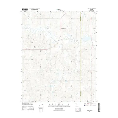
1966 Map of Mc Loud
USGS Topo · Published 1983About this map
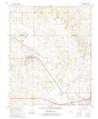
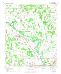
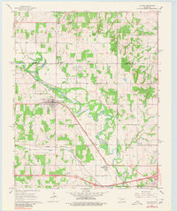
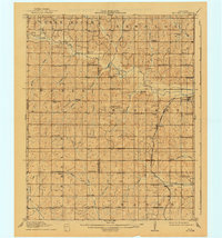
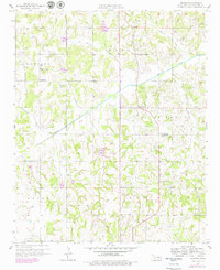
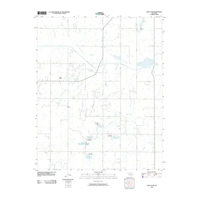
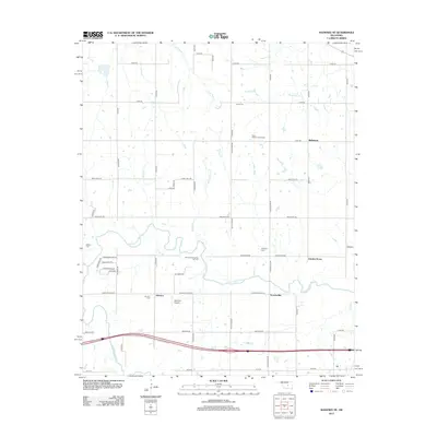
The North Canadian River meanders through this landscape, dividing the northern territories from the southern reaches of Pottawatomie County. This 1966 survey, revised in 1983, illustrates the industrial and community life of Mc Loud, where the Mc Loud Gas Field and the Chicago Rock Island and Pacific railroad defined the local economy. The map provides a detailed view of several educational and religious anchors, including the Kickapoo Mission, Wagon Wheel Sch, and the Minneha Ch.
Find a feature on this map
32 named features on this map. Tap any name to fly to it.
Don’t see what you’re looking for? This feature index may not catch every label — zoom into the map to look around manually.
Map Details
Editions of this 1966 Mc Loud Map
3 editions found
Historical Maps of Shawnee Through Time
31 maps found
1910 McComb
Pottawatomie County, OK
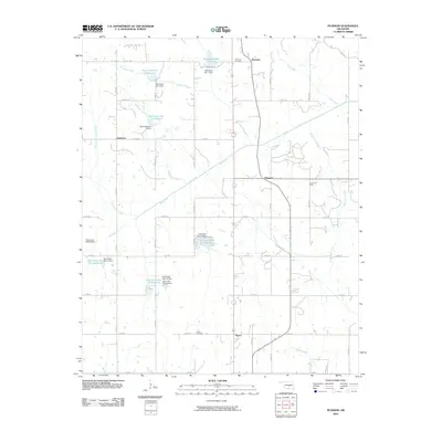
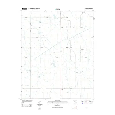
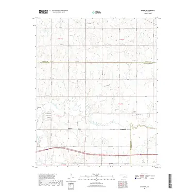
1958 Pearson
Pottawatomie County, OK
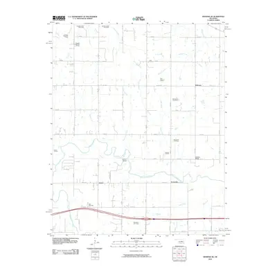
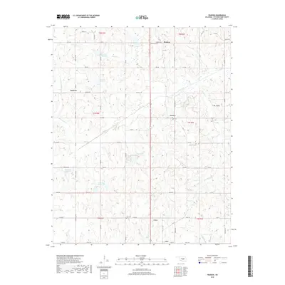
1966 Mc Loud
Pottawatomie County, OK
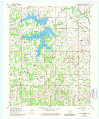
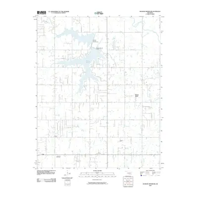
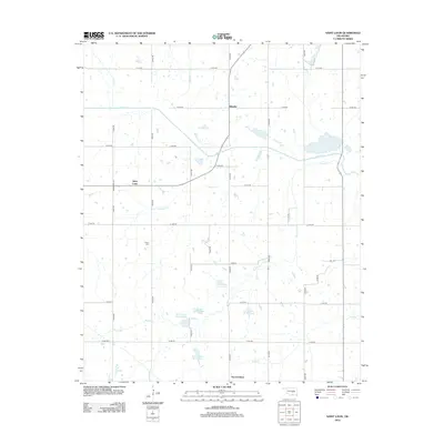
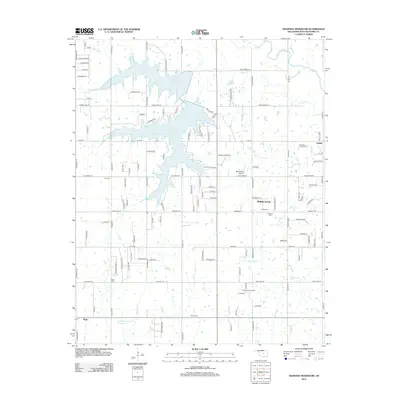
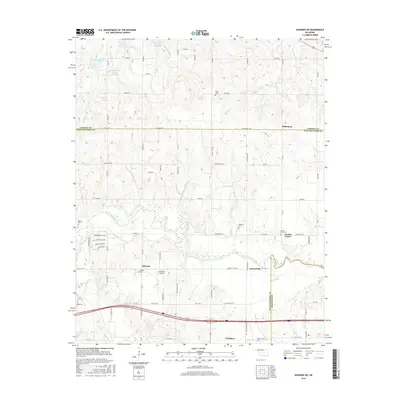
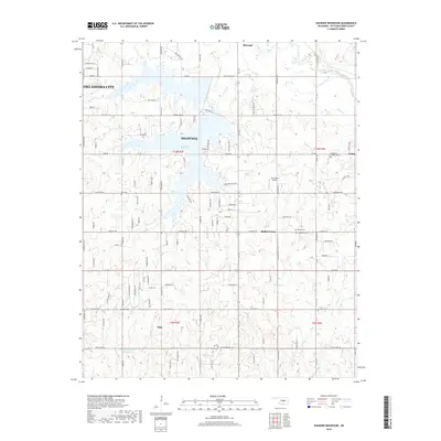
1966 Shawnee Reservoir
Pottawatomie County, OK
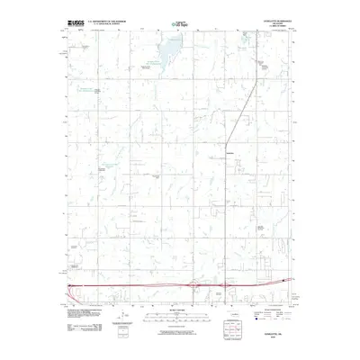
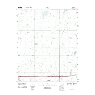
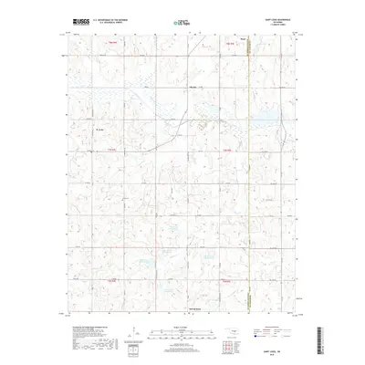
1967 Aydelotte
Pottawatomie County, OK
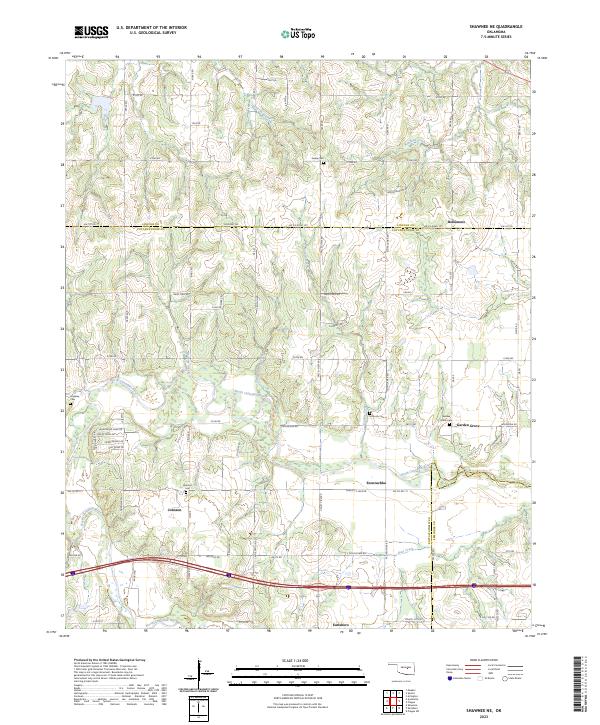
1967 Shawnee NE
Pottawatomie County, OK
2009 Saint Louis
Pottawatomie County, OK
2009 Shawnee Reservoir
Pottawatomie County, OK
2010 Aydelotte
Pottawatomie County, OK
2010 Pearson
Pottawatomie County, OK
2010 Shawnee NE
Pottawatomie County, OK
2012 Aydelotte
Pottawatomie County, OK
2012 Pearson
Pottawatomie County, OK
2012 Saint Louis
Pottawatomie County, OK
2012 Shawnee NE
Pottawatomie County, OK
2012 Shawnee Reservoir
Pottawatomie County, OK
2016 Aydelotte
Pottawatomie County, OK
2016 Pearson
Pottawatomie County, OK
2016 Saint Louis
Pottawatomie County, OK
2016 Shawnee NE
Pottawatomie County, OK
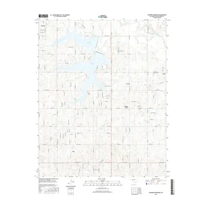
2016 Shawnee Reservoir
Pottawatomie County, OK
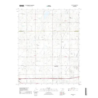
2018 Aydelotte
Pottawatomie County, OK
2018 Pearson
Pottawatomie County, OK
2018 Saint Louis
Pottawatomie County, OK
2018 Shawnee NE
Pottawatomie County, OK
2018 Shawnee Reservoir
Pottawatomie County, OK
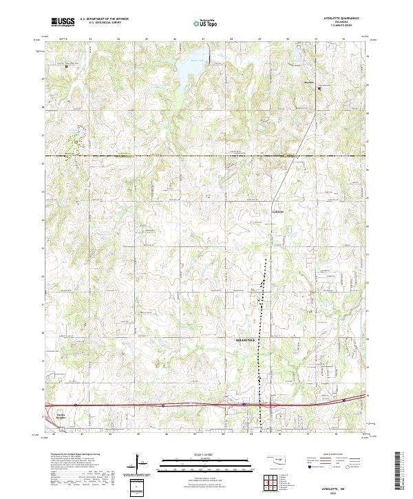
2022 Aydelotte
Pottawatomie County, OK
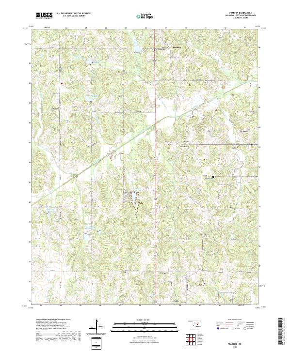
2022 Pearson
Pottawatomie County, OK
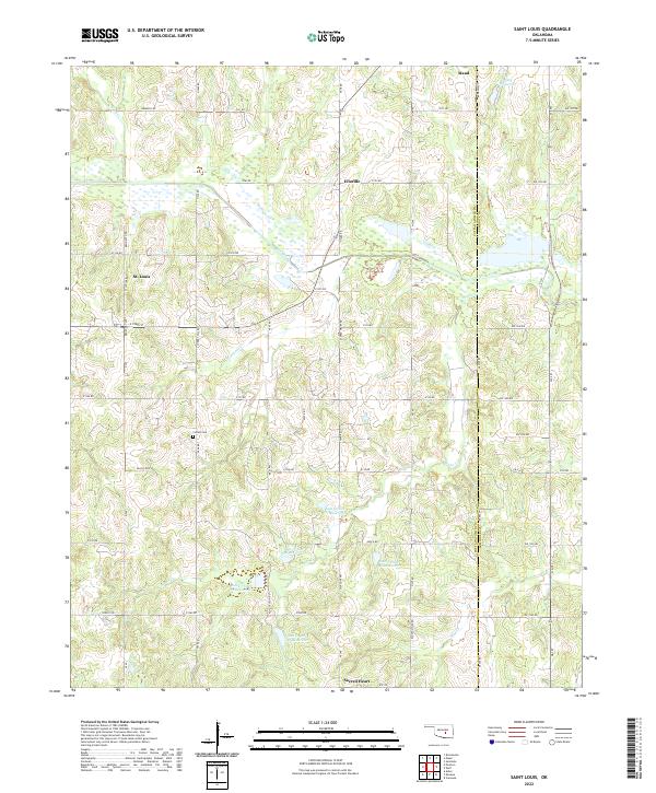
2022 Saint Louis
Pottawatomie County, OK
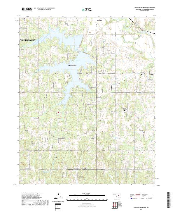
2022 Shawnee Reservoir
Pottawatomie County, OK
2023 Shawnee NE
Pottawatomie County, OK