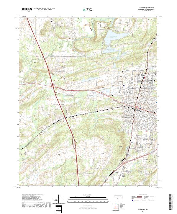
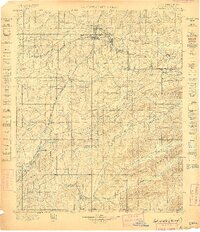
1898 Map of McAlester
USGS Topo · Published 1908About this map
McAlester and the surrounding coal mining district of the Choctaw Nation anchor this late 19th-century landscape. The region's early industrial footprint is defined by the Choctaw Oklahoma and Gulf RR and the Missouri Kansas and Texas RR, which facilitated the growth of company towns such as Krebs, Alderson, and Hartshorne. South of the urban centers, the terrain transitions into the steep ridges of Pine Mountain and Jackfork Mountain, where landmarks like Limestone Gap and Belle Starr Mt. stand out against the drainage of Boggy Creek and Jackfork Creek. A notable historical detail is the presence of Perryville and Johnstown, documenting the settlement patterns of Indian Territory before statehood. The map also records the location of numerous survey benchmarks, providing a precise topographic view of the territory as it was surveyed in the mid-1890s.
Find a feature on this map
98 named features on this map. Tap any name to fly to it.
Don’t see what you’re looking for? This feature index may not catch every label — zoom into the map to look around manually.
Map Details
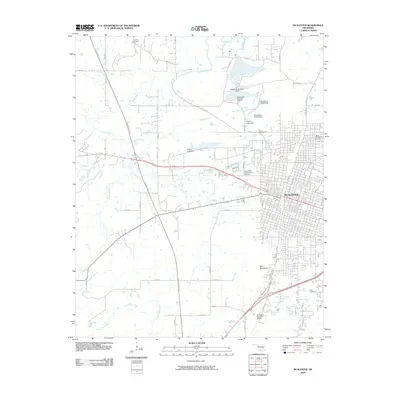
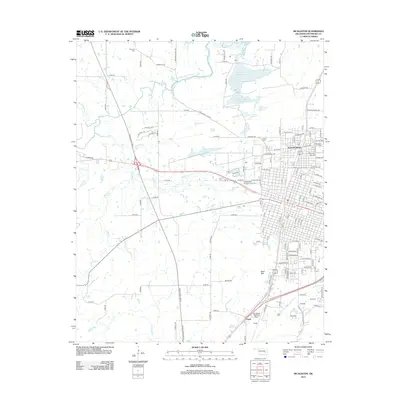
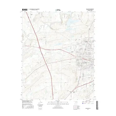
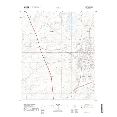
Editions of this 1898 McAlester Map
4 editions found

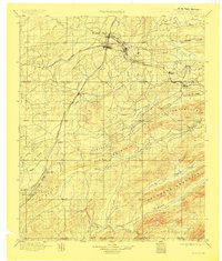
Historical Maps of McAlester Through Time
7 maps found