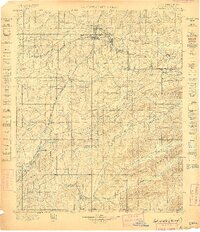
1898 Map of Mc Alester
USGS Topo · Published 1898About this map
South Mc. Alester and Mc. Alester anchor this 1898 Topographic Sheet of the Choctaw Nation in Indian Territory, just years before Oklahoma statehood. The map documents a landscape transitioning into a major coal-producing region, with early mining infrastructure like Mine No. 2 and towns such as Krebs, Alderson, and Hartshorne following the path of the Choctaw Oklahoma and Gulf Railroad. Further south, the Missouri Kansas and Texas R.R. cuts through the Kiowa Hills and passes the historic stop of Limestone Gap. The topography is dominated by the ridges of Jackfork Mountain and Pine Mountain, while numerous watercourses like Brushy Creek and Jackfork Creek drain the valleys. Local landmarks such as Belle Starr Mt. provide specific reference points for genealogists and local historians tracing the earliest developments of the Choctaw Nation's industrial and transport networks.
Find a feature on this map
54 named features on this map. Tap any name to fly to it.
Don’t see what you’re looking for? This feature index may not catch every label — zoom into the map to look around manually.
Map Details
Editions of this 1898 Mc Alester Map
4 editions found
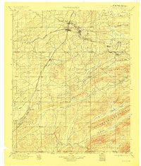
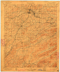
Other maps of this area

1896 · Coalgate
USGS Topo · 1:125,000

1898 · McAlester
USGS Topo · 1:125,000

1899 · Coalgate
USGS Topo · 1:125,000

1899 · Atoka
USGS Topo · 1:125,000

1900 · Sansbois
USGS Topo · 1:125,000

1900 · Canadian
USGS Topo · 1:125,000

1900 · Wewoka
USGS Topo · 1:125,000

1900 · Atoka
USGS Topo · 1:125,000

1900 · Coalgate
USGS Topo · 1:125,000

1901 · Antlers
USGS Topo · 1:125,000