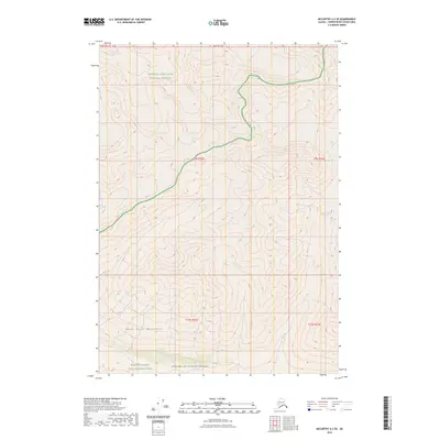
2023 Map of McCarthy A-2 SE
USGS Topo · Published 2023About this map
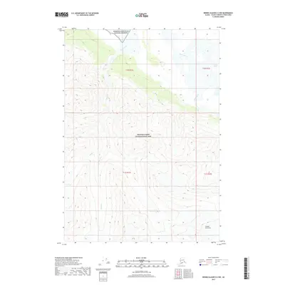
The Saint Elias Mountains dominate this high-altitude Alaskan landscape, where the survey provides a detailed view of topography within the Wrangell-Saint Elias National Preserve. This area is characterized by significant vertical relief and glacial terrain, sitting at the junction of several protected designations. To the south, the map transition into the Wrangell-Saint Elias National Park and the deeply interior Wrangell-St. Elias Wilderness. The cartography emphasizes the intricate drainage patterns and ridge lines of the Copper River Census Area. Researchers can observe the intersection of township and range lines across this remote territory, providing a precise spatial context for one of the most protected wilderness expanses in the United States.
Find a feature on this map
15 named features on this map. Tap any name to fly to it.
Don’t see what you’re looking for? This feature index may not catch every label — zoom into the map to look around manually.
Map Details
Editions of this 2023 McCarthy A-2 SE Map
This is the sole edition of this map. No revisions or reprints were ever made.
Other maps of this area

1950 · Bering Glacier
USGS Topo · 1:250,000

1951 · McCarthy
USGS Topo · 1:250,000

1951 · Bering Glacier
USGS Topo · 1:250,000

1959 · McCarthy A-2
USGS Topo · 1:63,360
1959 · McCarthy A-1
USGS Topo · 1:63,360

1959 · Bering Glacier
USGS Topo · 1:250,000

1960 · McCarthy
USGS Topo · 1:250,000
1984 · Bering Glacier D-2
USGS Topo · 1:63,360
1984 · Bering Glacier D-1
USGS Topo · 1:63,360
2017 · Bering Glacier D-2 NW
USGS Topo · 1:25,000