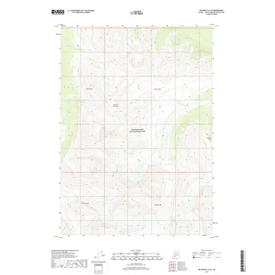
2017 Map of McCarthy A-6 SE
USGS Topo · Published 2017About this map
Wrangell-Saint Elias National Park encompasses this high-altitude landscape where the southern reaches of the Chugach Mountains dominate the horizon. In this 2017 study, the glacial and fluvial drainage patterns are clearly defined by the southward-flowing Chakina River along the western edge and Granitic Cr to the east. The terrain is defined by steep elevation changes, rising from the river valleys to sharp ridgelines, with Jacobson Gulch marking a significant break in the eastern slopes. The map provides a precise look at the land survey system for this wilderness area, including the intersection of t9s r13e and t10s r14e, illustrating how administrative grids overlay the natural topography of the Alaskan interior.
Find a feature on this map
9 named features on this map. Tap any name to fly to it.
Don’t see what you’re looking for? This feature index may not catch every label — zoom into the map to look around manually.
Map Details
Editions of this 2017 McCarthy A-6 SE Map
This is the sole edition of this map. No revisions or reprints were ever made.
Other maps of this area

1950 · Bering Glacier
USGS Topo · 1:250,000

1951 · McCarthy
USGS Topo · 1:250,000

1951 · Bering Glacier
USGS Topo · 1:250,000

1959 · McCarthy A-5
USGS Topo · 1:63,360

1959 · McCarthy A-6
USGS Topo · 1:63,360

1959 · Bering Glacier
USGS Topo · 1:250,000

1960 · McCarthy
USGS Topo · 1:250,000
1984 · Bering Glacier D-6
USGS Topo · 1:63,360

1984 · Bering Glacier D-5
USGS Topo · 1:63,360

1994 · McCarthy A-6
USGS Topo · 1:63,360