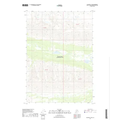
2017 Map of McCarthy A-7 NW
USGS Topo · Published 2017About this map
Wrangell-Saint Elias National Park encompasses this high-altitude landscape in the Unorganized Borough, where the headwaters and drainages of glacial systems define the topography. The Hanagita River flows through the central portion of the quadrangle, connecting a series of water bodies including Middle Hanagita Lake and the Upper Hanagita Lakes. To the south, the Klu River cuts through the steep elevation, illustrating the remote and untouched character of this interior Alaskan wilderness. This 2017 survey by the U.S. Geological Survey provides a precise view of the drainage patterns and landforms within the nation's largest national park, where natural watercourses remain the primary geographic landmarks in a region devoid of permanent settlements or infrastructure.
Find a feature on this map
9 named features on this map. Tap any name to fly to it.
Don’t see what you’re looking for? This feature index may not catch every label — zoom into the map to look around manually.
Map Details
Editions of this 2017 McCarthy A-7 NW Map
This is the sole edition of this map. No revisions or reprints were ever made.
Other maps of this area

1950 · McCarthy A-8
USGS Topo · 1:63,360

1951 · McCarthy
USGS Topo · 1:250,000

1951 · McCarthy B-8
USGS Topo · 1:63,360

1959 · McCarthy A-7
USGS Topo · 1:63,360

1959 · McCarthy B-7
USGS Topo · 1:63,360

1960 · McCarthy
USGS Topo · 1:250,000
1995 · McCarthy B-7
USGS Topo · 1:63,360

1995 · McCarthy B-8
USGS Topo · 1:63,360
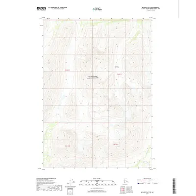
2017 · McCarthy A-7 SW
USGS Topo · 1:25,000
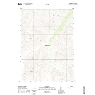
2017 · McCarthy A-7 SE
USGS Topo · 1:25,000