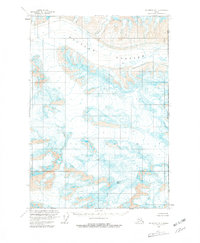
1959 Map of McCarthy B-1
USGS Topo · Published 1981About this map
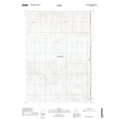
Mount Bear dominates the southern reaches of this high-altitude survey, standing as a massive sentinel over a landscape defined by glacial activity. This remote stretch of the Saint Elias Mountains is characterized by the expansive Klutlan Glacier, which flows eastward across the northern portion of the map. The terrain is marked by numerous crevasses, illustrating the dynamic and treacherous nature of the ice fields in the late 1950s. The map serves as a primary record of the international boundary, tracing the United States Canada border along the 141st meridian, where it meets the Alaska Yukon line. The absence of roads or established trails highlights the extreme isolation of this environment at the time of the 1957 aerial photography and subsequent 1959 field annotation.
Find a feature on this map
5 named features on this map. Tap any name to fly to it.
Don’t see what you’re looking for? This feature index may not catch every label — zoom into the map to look around manually.
Map Details
Editions of this 1959 McCarthy B-1 Map
3 editions found
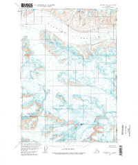
Other maps of this area

1951 · McCarthy
USGS Topo · 1:250,000

1959 · McCarthy A-2
USGS Topo · 1:63,360

1959 · McCarthy C-1
USGS Topo · 1:63,360

1959 · McCarthy B-2
USGS Topo · 1:63,360

1959 · McCarthy B-1
USGS Topo · 1:63,360
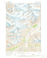
1959 · McCarthy A-1
USGS Topo · 1:63,360

1959 · McCarthy C-2
USGS Topo · 1:63,360

1960 · McCarthy
USGS Topo · 1:250,000
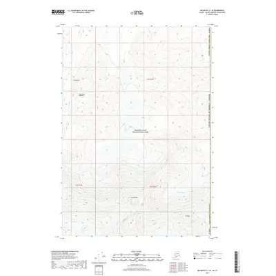
2017 · McCarthy C-1 SE
USGS Topo · 1:25,000
2017 · McCarthy B-1 NE
USGS Topo · 1:25,000