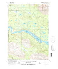
1951 Map of McCarthy B-8
USGS Topo · Published 1976About this map
The Chitina River basin is the central focus of this 1951 survey, where the massive braided river channel dominates the topography as it flows westward. Along the northern bank, the Old Railroad Grade traces a path through the valley, marking the legacy of industrial infrastructure in this subarctic landscape. Near the settlement of Chokosna, the terrain transitions from the low-lying river flats to the prominent heights of Gilahina Butte and Lost Butte.
Find a feature on this map
21 named features on this map. Tap any name to fly to it.
Don’t see what you’re looking for? This feature index may not catch every label — zoom into the map to look around manually.
Map Details
Editions of this 1951 McCarthy B-8 Map
3 editions found
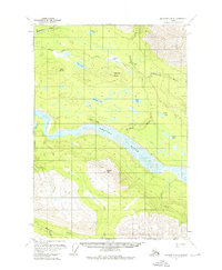
Other maps of this area

1950 · McCarthy A-8
USGS Topo · 1:63,360

1951 · McCarthy
USGS Topo · 1:250,000

1951 · Valdez B-1
USGS Topo · 1:63,360

1951 · Valdez A-1
USGS Topo · 1:63,360

1951 · McCarthy C-8
USGS Topo · 1:63,360

1951 · McCarthy B-8
USGS Topo · 1:63,360

1951 · Valdez C-1
USGS Topo · 1:63,360

1952 · Valdez
USGS Topo · 1:250,000

1953 · Valdez C-1
USGS Topo · 1:63,360

1959 · McCarthy A-7
USGS Topo · 1:63,360