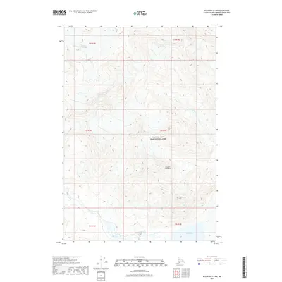
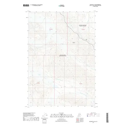
2017 Map of McCarthy C-3 NW
USGS Topo · Published 2017About this map
Wrangell-Saint Elias National Park encompasses this high-altitude landscape in the Wrangell Mountains, where glacial activity and alpine drainage systems dictate the terrain. The northern reaches of the map are defined by the Middle Fork Glacier, feeding into a complex network of waterways including Flood Creek and the southern Skolai Creek. The topographic detail illustrates the sharp elevation changes characteristic of this wilderness, culminating in landmarks such as Castle Mtn. In the south, the waters of Upper Skolai Lake collect at the base of the surrounding peaks, marking a significant hydrologic feature within the protected park boundaries. This 2017 survey provides a contemporary view of these perennial ice and water features as they appeared in the early twenty-first century.
Find a feature on this map
15 named features on this map. Tap any name to fly to it.
Don’t see what you’re looking for? This feature index may not catch every label — zoom into the map to look around manually.
Map Details
Editions of this 2017 McCarthy C-3 NW Map
This is the sole edition of this map. No revisions or reprints were ever made.
Other maps of this area

1951 · McCarthy
USGS Topo · 1:250,000

1959 · McCarthy C-4
USGS Topo · 1:63,360

1959 · McCarthy D-3
USGS Topo · 1:63,360

1959 · McCarthy C-3
USGS Topo · 1:63,360

1960 · McCarthy D-4
USGS Topo · 1:63,360

1960 · McCarthy
USGS Topo · 1:250,000
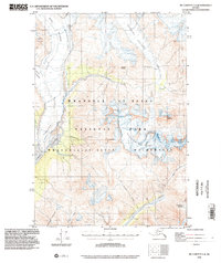
1993 · McCarthy C-4
USGS Topo · 1:63,360
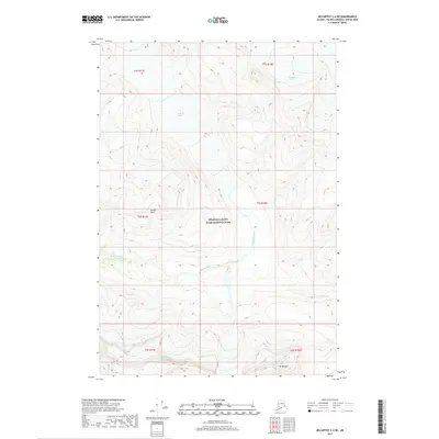
2017 · McCarthy C-4 NE
USGS Topo · 1:25,000
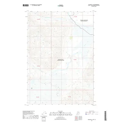
2017 · McCarthy C-3 NE
USGS Topo · 1:25,000
2017 · McCarthy D-3 SW
USGS Topo · 1:25,000