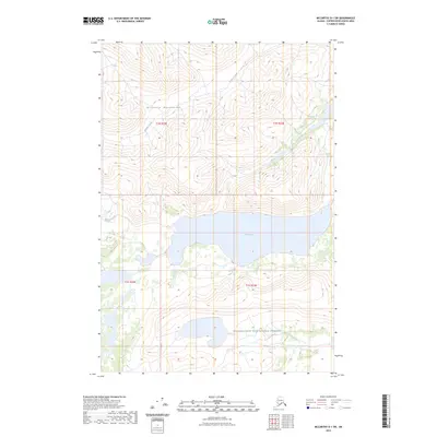
2023 Map of McCarthy D-1 SW
USGS Topo · Published 2023About this map
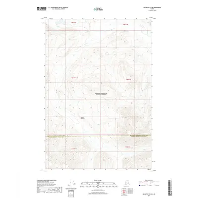
The Nutzotin Mountains dominate the northern landscape of this Copper River Census Area terrain, where steep ridges descend toward the high-altitude waters of Rock Lake. Much of the southern portion of the map is situated within the Wrangell-Saint Elias National Preserve, a designation that reflects the undeveloped character of the eastern Alaska interior. The drainage pattern is defined by Francis Creek and Young Creek, which carve through the high elevations. This 2023 survey illustrates the topographical complexity of the region, showing how the mountains and glacial lakes dictate the boundary lines for t1n r22e, t1n r23e, and surrounding townships. For the researcher, the map provides a precise modern record of hydrography and elevation in a part of the state where human infrastructure remains nearly absent.
Find a feature on this map
9 named features on this map. Tap any name to fly to it.
Don’t see what you’re looking for? This feature index may not catch every label — zoom into the map to look around manually.
Map Details
Editions of this 2023 McCarthy D-1 SW Map
This is the sole edition of this map. No revisions or reprints were ever made.
Other maps of this area

1951 · McCarthy
USGS Topo · 1:250,000

1959 · McCarthy D-1
USGS Topo · 1:63,360

1959 · McCarthy D-2
USGS Topo · 1:63,360

1959 · McCarthy C-1
USGS Topo · 1:63,360

1959 · McCarthy C-2
USGS Topo · 1:63,360

1960 · McCarthy
USGS Topo · 1:250,000
2017 · McCarthy C-2 NE
USGS Topo · 1:25,000
2017 · McCarthy C-1 NE
USGS Topo · 1:25,000
2017 · McCarthy D-2 SE
USGS Topo · 1:25,000
2017 · McCarthy D-2 NE
USGS Topo · 1:25,000