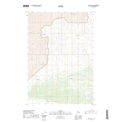
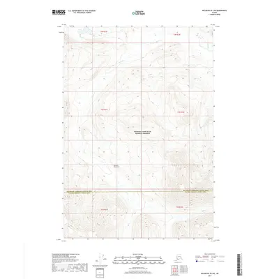
2023 Map of McCarthy D-2 SE
USGS Topo · Published 2023About this map
The Nutzotin Mountains dominate the northern terrain of this remote Copper River Census Area landscape, where the topography transitions into the protected reaches of the Wrangell-St. Elias Wilderness. The map reflects a pristine wilderness environment defined by a complex drainage network, where Shotgold Creek and Francis Creek carve through steep elevation contours. To the south, the terrain descends toward Burnt Hill and the broader expanse of the Wrangell-Saint Elias National Preserve. The absence of roads or established settlements emphasizes the isolated character of this region, which remains primarily defined by its natural water systems, including Young Creek, Greene Creek, and Divide Creek. This modern survey provides a detailed look at the land's natural geometry, useful for understanding the hydrological patterns of the Alaskan interior.
Find a feature on this map
13 named features on this map. Tap any name to fly to it.
Don’t see what you’re looking for? This feature index may not catch every label — zoom into the map to look around manually.
Map Details
Editions of this 2023 McCarthy D-2 SE Map
This is the sole edition of this map. No revisions or reprints were ever made.
Other maps of this area

1951 · McCarthy
USGS Topo · 1:250,000

1959 · McCarthy D-1
USGS Topo · 1:63,360

1959 · McCarthy D-2
USGS Topo · 1:63,360

1959 · McCarthy C-1
USGS Topo · 1:63,360

1959 · McCarthy C-2
USGS Topo · 1:63,360

1960 · McCarthy
USGS Topo · 1:250,000
2017 · McCarthy C-2 NE
USGS Topo · 1:25,000
2017 · McCarthy D-2 SE
USGS Topo · 1:25,000
2017 · McCarthy D-2 SW
USGS Topo · 1:25,000
2017 · McCarthy D-2 NE
USGS Topo · 1:25,000