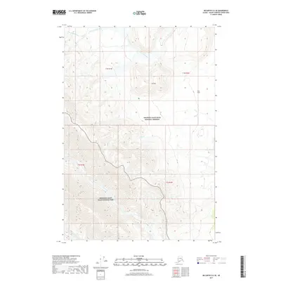
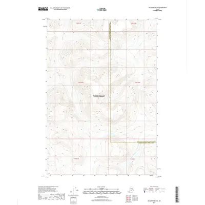
2017 Map of McCarthy D-3 SE
USGS Topo · Published 2017About this map
Wrangell-Saint Elias National Park and the adjacent Wrangell-Saint Elias National Preserve dominate this high-altitude landscape in the eastern Alaskan interior. The terrain is defined by the drainage systems of the North Fork White River in the north and Lime Creek further south, illustrating the intricate glacial and river-carved valleys of the region. Rising prominently between these watercourses is Solo Mtn, which overlooks the level expanse of Solo Flats. This map captures the intersection of designated wilderness areas, where the preservation of the landscape is prioritized. The presence of Solo Cr winding through the central portion of the sheet highlights the transition from mountainous heights to lower creek beds, providing a detailed view of the natural topography in the Valdez-Cordova Census Area.
Find a feature on this map
11 named features on this map. Tap any name to fly to it.
Don’t see what you’re looking for? This feature index may not catch every label — zoom into the map to look around manually.
Map Details
Editions of this 2017 McCarthy D-3 SE Map
This is the sole edition of this map. No revisions or reprints were ever made.
Other maps of this area

1951 · McCarthy
USGS Topo · 1:250,000

1959 · McCarthy D-3
USGS Topo · 1:63,360

1959 · McCarthy D-2
USGS Topo · 1:63,360

1959 · McCarthy C-3
USGS Topo · 1:63,360

1959 · McCarthy C-2
USGS Topo · 1:63,360

1960 · McCarthy
USGS Topo · 1:250,000
2017 · McCarthy C-3 NE
USGS Topo · 1:25,000
2017 · McCarthy D-3 SW
USGS Topo · 1:25,000
2017 · McCarthy D-2 SW
USGS Topo · 1:25,000
2017 · McCarthy D-3 NE
USGS Topo · 1:25,000