
1954 Map of McClusky
USGS Topo · Published 1968About this map
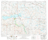
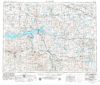
Garrison Dam and the massive waters of Lake Sakakawea dominate this mid-century portrait of central North Dakota. The landscape is defined by the recently completed engineering of the Missouri River Basin Project, which transformed the valley and established the Audubon National Wildlife Refuge. Tracing the river's path, the Lewis and Clark Trail winds past historic river towns like Washburn and Stanton, while the northern portion of the map reveals a prairie pothole region densely packed with Numerous Lakes.
Find a feature on this map
166 named features on this map. Tap any name to fly to it.
Don’t see what you’re looking for? This feature index may not catch every label — zoom into the map to look around manually.
Map Details
Editions of this 1954 McClusky Map
3 editions found
Other maps of this area

1907 · Bismarck
USGS Topo · 1:125,000

1922 · Garrison
USGS Topo · 1:62,500

1928 · Minot
USGS Topo · 1:62,500

1929 · Sawyer
USGS Topo · 1:62,500

1929 · Coleharbor
USGS Topo · 1:62,500

1929 · Benedict
USGS Topo · 1:62,500

1929 · Kongsberg
USGS Topo · 1:62,500

1929 · Balfour
USGS Topo · 1:62,500

1930 · Drake
USGS Topo · 1:62,500

1940 · Aylmer
USGS Topo · 1:62,500