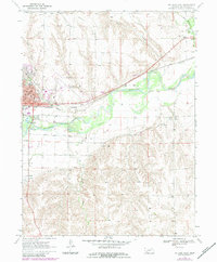
1970 Map of McCook East
USGS Topo · Published 1983About this map
The Republican River valley forms the geographic heart of this Red Willow County landscape, where the city of Mc Cook serves as a vital regional hub for education, transport, and commerce. This 1970 survey (with 1983 revisions) captures a sophisticated network of water management infrastructure, including the Culbertson Extension Canal and Meeker Extension Canal, which supported the area's agricultural productivity.
Find a feature on this map
28 named features on this map. Tap any name to fly to it.
Don’t see what you’re looking for? This feature index may not catch every label — zoom into the map to look around manually.
Map Details
Editions of this 1970 McCook East Map
2 editions found
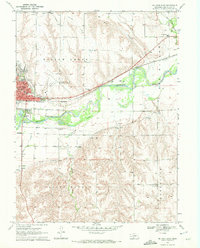
Other maps of this area

1954 · McCook
USGS Topo · 1:250,000

1957 · McCook
USGS Topo · 1:250,000

1957 · McCook SW
USGS Topo · 1:24,000

1957 · Danbury
USGS Topo · 1:24,000

1957 · McCook SE
USGS Topo · 1:24,000

1958 · McCook
USGS Topo · 1:250,000
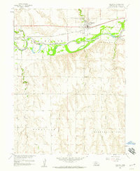
1958 · Indianola
USGS Topo · 1:24,000

1970 · Red Willow Dam
USGS Topo · 1:24,000

1970 · McCook West
USGS Topo · 1:24,000

1970 · Quick SE
USGS Topo · 1:24,000