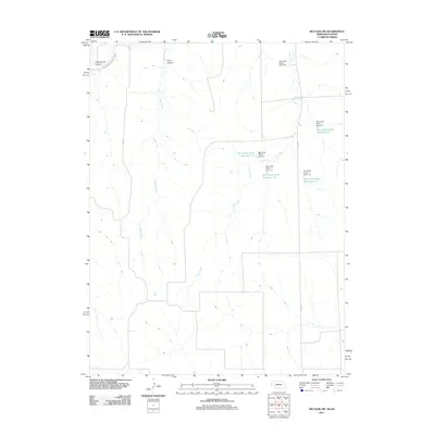
2011 Map of McCook SW
USGS Topo · Published 2011About this map
The agricultural hydrology of Red Willow County is the defining characteristic of this terrain along the Nebraska-Kansas border. The landscape is heavily managed through a network of water control structures, most notably the numerous dams and catchment areas along the southern fork of Dry Creek. These features, including Dry Creek South Reservoir 1-E and Dry Creek South Reservoir 3-A, illustrate modern efforts to mitigate erosion and manage runoff in this drainage basin.
Find a feature on this map
16 named features on this map. Tap any name to fly to it.
Don’t see what you’re looking for? This feature index may not catch every label — zoom into the map to look around manually.
Map Details
Editions of this 2011 McCook SW Map
This is the sole edition of this map. No revisions or reprints were ever made.
Other maps of this area

1951 · Herndon
USGS Topo · 1:62,500

1951 · Oberlin
USGS Topo · 1:62,500

1954 · McCook
USGS Topo · 1:250,000

1954 · Goodland
USGS Topo · 1:250,000

1956 · Goodland
USGS Topo · 1:250,000

1957 · McCook
USGS Topo · 1:250,000

1957 · Goodland
USGS Topo · 1:250,000

1957 · McCook SW
USGS Topo · 1:24,000

1957 · McCook SE
USGS Topo · 1:24,000

1958 · McCook
USGS Topo · 1:250,000