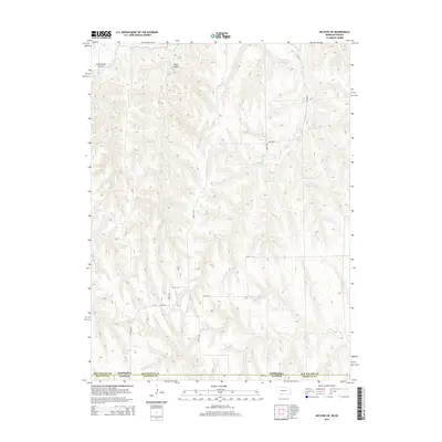
2014 Map of McCook SW
USGS Topo · Published 2014About this map
The high plains of the Nebraska-Kansas border define this landscape, where the agricultural infrastructure of Red Willow County meets the northern edges of Rawlins and Decatur Counties. This 2014 survey reveals a sophisticated water management system designed for a semi-arid environment, dominated by a series of catchment basins along the southern drainage of Dry Cr. These include Dry Cr S Reservoir 4-A, Dry Cr S Reservoir 3-A, and others labeled through Dry Cr S Reservoir 1-D, highlighting the critical role of water storage in this ranching and farming corridor. To the northwest, the terrain is more dissected, carved by Cottonwood Canyon and Plum Canyon. Irrigation is further supported by the Driftwood W Canal, which cuts through the northwest corner near Spring Cr, while a sparse grid of section roads like Road 708 and Drive 380 provides the only access across the expansive upland.
Find a feature on this map
24 named features on this map. Tap any name to fly to it.
Don’t see what you’re looking for? This feature index may not catch every label — zoom into the map to look around manually.
Map Details
Editions of this 2014 McCook SW Map
This is the sole edition of this map. No revisions or reprints were ever made.
Other maps of this area

1951 · Herndon
USGS Topo · 1:62,500

1951 · Oberlin
USGS Topo · 1:62,500

1954 · McCook
USGS Topo · 1:250,000

1954 · Goodland
USGS Topo · 1:250,000

1956 · Goodland
USGS Topo · 1:250,000

1957 · McCook
USGS Topo · 1:250,000

1957 · Goodland
USGS Topo · 1:250,000

1957 · McCook SW
USGS Topo · 1:24,000

1957 · McCook SE
USGS Topo · 1:24,000

1958 · McCook
USGS Topo · 1:250,000