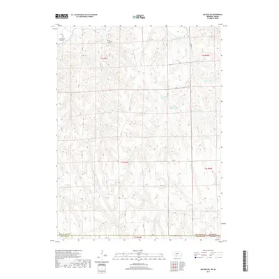
2017 Map of McCook SW
USGS Topo · Published 2017About this map
Dry Cr and its complex system of managed water resources dominate the landscape of Red Willow County, Nebraska, near the border with Kansas. This 2017 survey details a network of engineered water storage sites including Dry Cr South Reservoir 1-A and Dry Cr South Reservoir 3-A, illustrating the critical role of water management in this agricultural region. The terrain is defined by deeply cut drainages such as Cottonwood Canyon and Plum Canyon, while the presence of the Driftwood Canal in the northwest corner highlights the infrastructure necessary for irrigation and drainage in the High Plains. The map's grid of rural roads, including RD 709 and RD 383, follows the section lines of the Public Land Survey System, providing a clear view of the modern land divisions and access points across the rolling topography.
Find a feature on this map
33 named features on this map. Tap any name to fly to it.
Don’t see what you’re looking for? This feature index may not catch every label — zoom into the map to look around manually.
Map Details
Editions of this 2017 McCook SW Map
This is the sole edition of this map. No revisions or reprints were ever made.
Other maps of this area

1951 · Herndon
USGS Topo · 1:62,500

1951 · Oberlin
USGS Topo · 1:62,500

1954 · McCook
USGS Topo · 1:250,000

1954 · Goodland
USGS Topo · 1:250,000

1956 · Goodland
USGS Topo · 1:250,000

1957 · McCook
USGS Topo · 1:250,000

1957 · Goodland
USGS Topo · 1:250,000

1957 · McCook SW
USGS Topo · 1:24,000

1957 · McCook SE
USGS Topo · 1:24,000

1958 · McCook
USGS Topo · 1:250,000