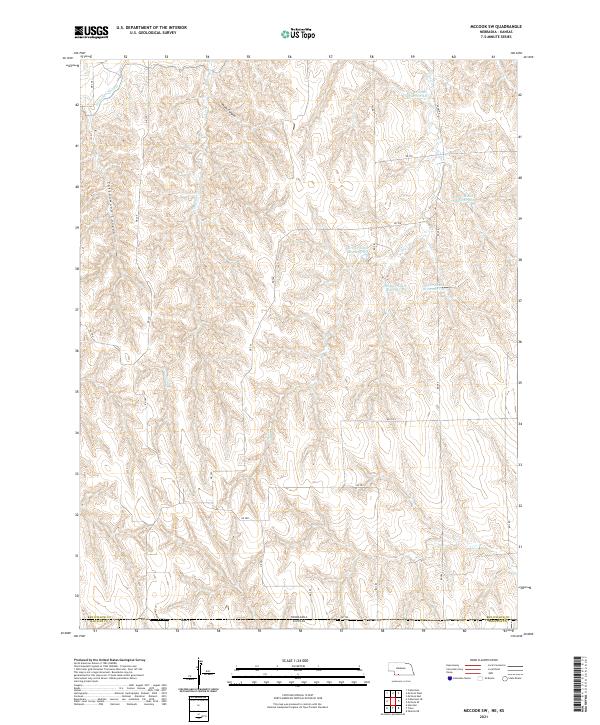
2021 Map of McCook SW
USGS Topo · Published 2021About this map
The Nebraska-Kansas border defines the southern edge of this landscape, where the agricultural plains of Red Willow County meet Rawlins and Decatur Counties to the south. Driftwood Canal cuts through the northwestern corner, a vital piece of water infrastructure in this semi-arid region. The terrain is deeply incised by drainage patterns, most notably at Plum Canyon and Cottonwood Canyon, which provide significant topographic relief compared to the surrounding tablelands.
Find a feature on this map
34 named features on this map. Tap any name to fly to it.
Don’t see what you’re looking for? This feature index may not catch every label — zoom into the map to look around manually.
Map Details
Editions of this 2021 McCook SW Map
This is the sole edition of this map. No revisions or reprints were ever made.
Other maps of this area

1951 · Herndon
USGS Topo · 1:62,500

1951 · Oberlin
USGS Topo · 1:62,500

1954 · McCook
USGS Topo · 1:250,000

1954 · Goodland
USGS Topo · 1:250,000

1956 · Goodland
USGS Topo · 1:250,000

1957 · McCook
USGS Topo · 1:250,000

1957 · Goodland
USGS Topo · 1:250,000

1957 · McCook SW
USGS Topo · 1:24,000

1957 · McCook SE
USGS Topo · 1:24,000

1958 · McCook
USGS Topo · 1:250,000