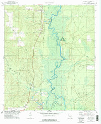
1978 Map of McDavid
USGS Topo · Published 1978About this map
The Escambia River defines the landscape of this Florida panhandle region, serving as the border between Escambia and Santa Rosa counties. The river valley is characterized by complex wetland features including Williams Lake, Brown Lake, and Cotton Lake, alongside the prominent Parker Island. The settlement pattern follows the elevated ground to the west, where the Louisville and Nashville railroad corridor connects several small communities.
Find a feature on this map
38 named features on this map. Tap any name to fly to it.
Don’t see what you’re looking for? This feature index may not catch every label — zoom into the map to look around manually.
Map Details
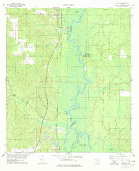
Editions of this 1978 McDavid Map
2 editions found
Other maps of this area

1920 · Milton
USGS Topo · 1:62,500

1921 · Muscogee
USGS Topo · 1:62,500

1941 · Muscogee
USGS Topo · 1:62,500

1941 · Milton
USGS Topo · 1:62,500

1941 · Century
USGS Topo · 1:62,500

1943 · Muscogee
USGS Topo · 1:62,500

1943 · Century
USGS Topo · 1:62,500

1943 · Milton
USGS Topo · 1:62,500

1943 · Jay
USGS Topo · 1:62,500

1957 · Pensacola
USGS Topo · 1:250,000