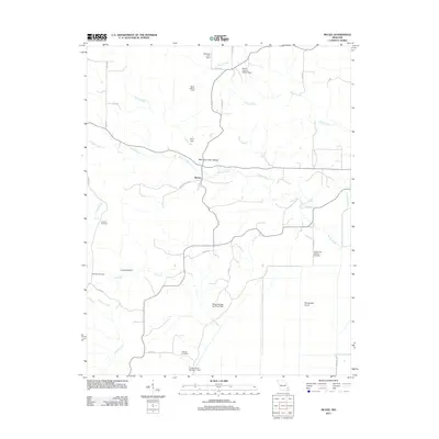
2011 Map of McGee
USGS Topo · Published 2011About this map
McGee serves as the central point of this Missouri landscape, where local drainage systems like McGee Creek and Brush Creek dictate the terrain. The map reveals a high concentration of small-scale water management features, including Mulenex Lake Dam, Drum Dam, and Mingo Refuge Fox Pond Dam, reflecting the area's complex hydrology and its intersection with conservation efforts. Family and local heritage are clearly marked through sites like Wilfong Cemetery, De Celis Cemetery, and Richman Cemetery, which provide essential points of reference for genealogical research.
Find a feature on this map
37 named features on this map. Tap any name to fly to it.
Don’t see what you’re looking for? This feature index may not catch every label — zoom into the map to look around manually.
Map Details
Editions of this 2011 McGee Map
This is the sole edition of this map. No revisions or reprints were ever made.
Other maps of this area

1934 · Greenville
USGS Topo · 1:62,500

1934 · Puxico
USGS Topo · 1:62,500

1935 · Poplar Bluff
USGS Topo · 1:62,500

1935 · Zalma
USGS Topo · 1:62,500

1939 · Greenville
USGS Topo · 1:62,500

1939 · Puxico
USGS Topo · 1:62,500

1939 · Zalma
USGS Topo · 1:62,500

1939 · Poplar Bluff
USGS Topo · 1:62,500

1949 · Rolla
USGS Topo · 1:250,000

1949 · Poplar Bluff
USGS Topo · 1:62,500