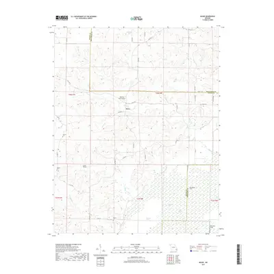
2017 Map of McGee
USGS Topo · Published 2017About this map
McGee serves as the central settlement in this region of southeast Missouri, situated at the edge of where the Ozark foothills meet the alluvial plains. To the south, the landscape shifts dramatically as it enters the Mingo Swamp and the protected environment of Monopoly Marsh, marked by Gumstump Pool and Pool Eight. These lowlands contrast sharply with the ridged terrain to the north, characterized by features like Cow Knoll Ridge and Lurker Hollow. Genealogy researchers will find several localized burial sites, including Wilfong Cem, De Celis Cem, and Richman Cem, which are scattered among family-named landmarks like Manning Cabin Hollow. The water network is particularly dense here, with McGee Cr, Brush Cr, and Rocky Cr draining the northern heights into the southern basin. The map captures a transition point in geography where the hills and hollows give way to the vast wetland systems of the Castor River watershed.
Find a feature on this map
52 named features on this map. Tap any name to fly to it.
Don’t see what you’re looking for? This feature index may not catch every label — zoom into the map to look around manually.
Map Details
Editions of this 2017 McGee Map
This is the sole edition of this map. No revisions or reprints were ever made.
Other maps of this area

1934 · Greenville
USGS Topo · 1:62,500

1934 · Puxico
USGS Topo · 1:62,500

1935 · Poplar Bluff
USGS Topo · 1:62,500

1935 · Zalma
USGS Topo · 1:62,500

1939 · Greenville
USGS Topo · 1:62,500

1939 · Puxico
USGS Topo · 1:62,500

1939 · Zalma
USGS Topo · 1:62,500

1939 · Poplar Bluff
USGS Topo · 1:62,500

1949 · Rolla
USGS Topo · 1:250,000

1949 · Poplar Bluff
USGS Topo · 1:62,500