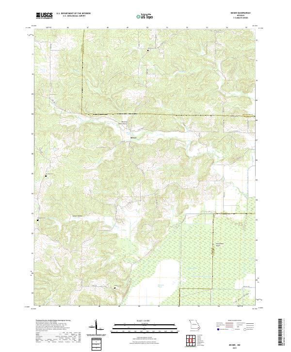
2021 Map of McGee
USGS Topo · Published 2021About this map
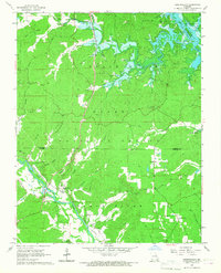
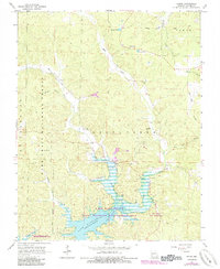
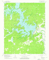
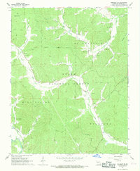
The settlement of McGee serves as the focal point for this landscape where the Ozark foothills meet the bottomlands of the Mississippi Embayment. The northern half of the map is defined by a series of narrow valleys and ridges, including Manning Cabin Hollow and Lurker Hollow, through which drainage like Rocky Cr and McGee Cr flow toward the lowlands. For genealogists, the map preserves the locations of family-named burial grounds such as Jimmerson Cem, De Celis Cem, and Wilfong Cem, which are scattered throughout the hills and near the swamp margins.
Find a feature on this map
45 named features on this map. Tap any name to fly to it.
Don’t see what you’re looking for? This feature index may not catch every label — zoom into the map to look around manually.
Map Details
Editions of this 2021 McGee Map
This is the sole edition of this map. No revisions or reprints were ever made.
Historical Maps of McGee Through Time
16 maps found
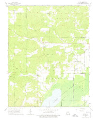
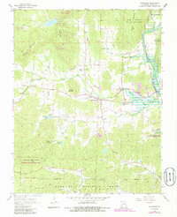
1963 McGee
Wayne County, MO
1965 Lowndes
Wayne County, MO
1966 Greenville SW
Wayne County, MO
1966 Hendrickson
Wayne County, MO
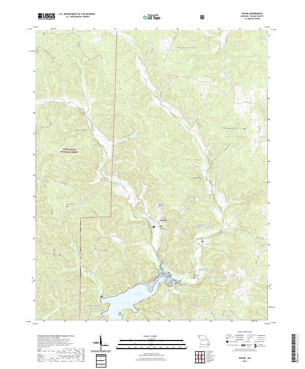
1966 Shook
Wayne County, MO
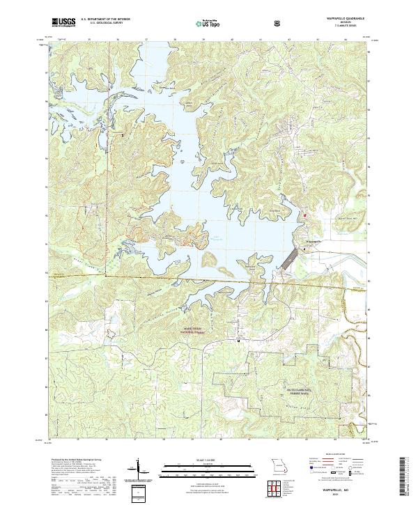
1966 Wappapello
Wayne County, MO
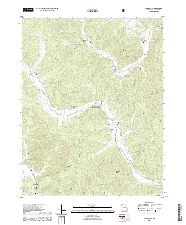
1967 Piedmont SE
Wayne County, MO
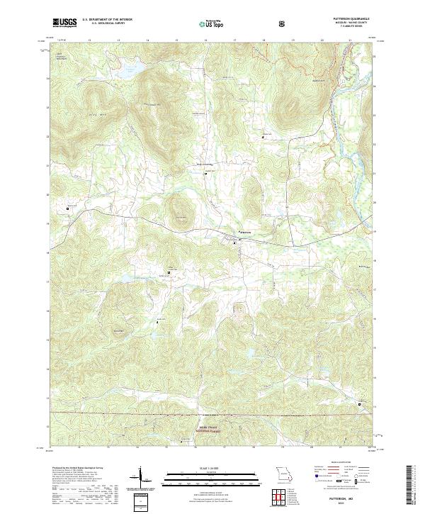
1968 Patterson
Wayne County, MO
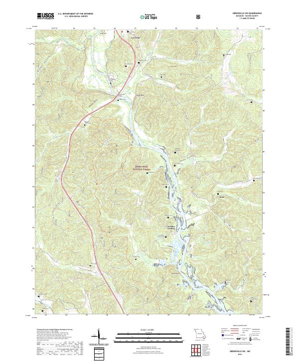
2021 Greenville SW
Wayne County, MO
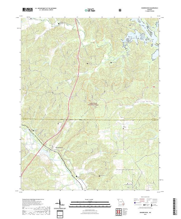
2021 Hendrickson
Wayne County, MO
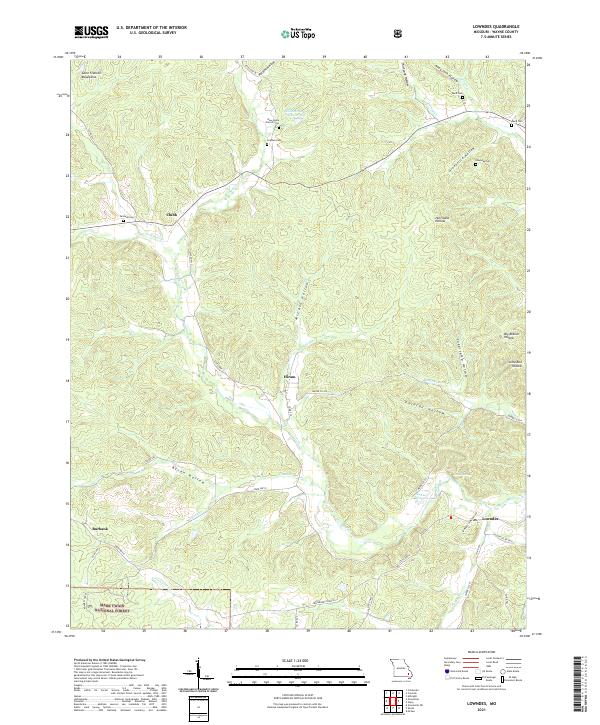
2021 Lowndes
Wayne County, MO
2021 McGee
Wayne County, MO
2021 Patterson
Wayne County, MO
2021 Piedmont SE
Wayne County, MO
2021 Shook
Wayne County, MO
2021 Wappapello
Wayne County, MO