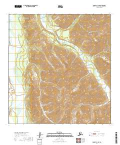
2019 Map of McGrath B-1 NW
USGS Topo · Published 2019About this map
South Fork Kuskokwim River serves as the primary drainage through this interior Alaskan wilderness, flowing along the western edge of the quadrangle. The terrain is defined by a dense network of high ridges and narrow valleys, where the Post River enters from the southwest to join the Kuskokwim. Evidence of the region’s complex hydrology is visible in the divergent paths of Automatic Creek and its southern tributary, Automatic Cr, which carve through steep elevation contours. In the eastern portion of the map, the Jones River follows a winding course through the mountains, illustrating the natural glacial and fluvial carving that dictates travel patterns in this part of the Yukon-Koyukuk Census Area. This 2019 data release accurately reflects the unchanged, roadless character of the landscape as it remained into the early 21st century.
Find a feature on this map
14 named features on this map. Tap any name to fly to it.
Don’t see what you’re looking for? This feature index may not catch every label — zoom into the map to look around manually.
Map Details
Editions of this 2019 McGrath B-1 NW Map
This is the sole edition of this map. No revisions or reprints were ever made.
Other maps of this area

1949 · McGrath
USGS Topo · 1:250,000

1950 · McGrath
USGS Topo · 1:250,000

1958 · McGrath B-1
USGS Topo · 1:63,360

1958 · McGrath B-2
USGS Topo · 1:63,360

1958 · McGrath C-1
USGS Topo · 1:63,360

1958 · McGrath C-2
USGS Topo · 1:63,360

1958 · McGrath
USGS Topo · 1:250,000
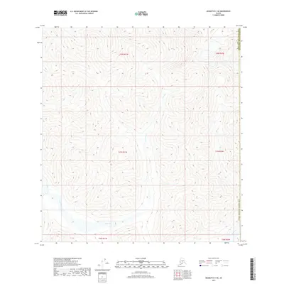
2017 · McGrath B-1 NE
USGS Topo · 1:25,000
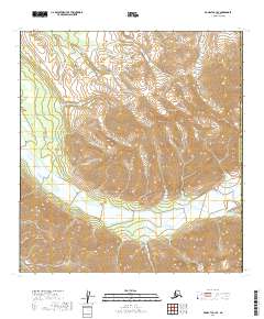
2019 · McGrath C-1 SE
USGS Topo · 1:25,000
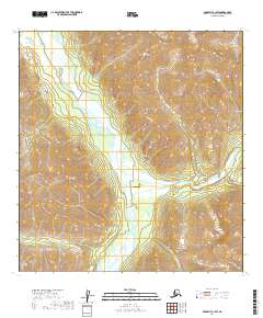
2019 · McGrath B-1 SW
USGS Topo · 1:25,000