Loading...
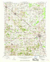
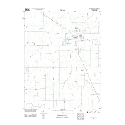
Loading map...1942 Map of McLeansboro
USGS Topo · Published 1970About this map
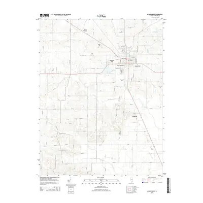
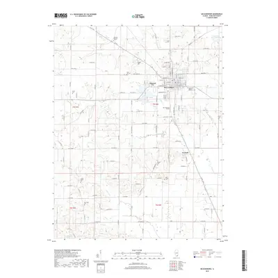
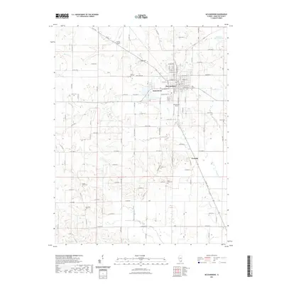
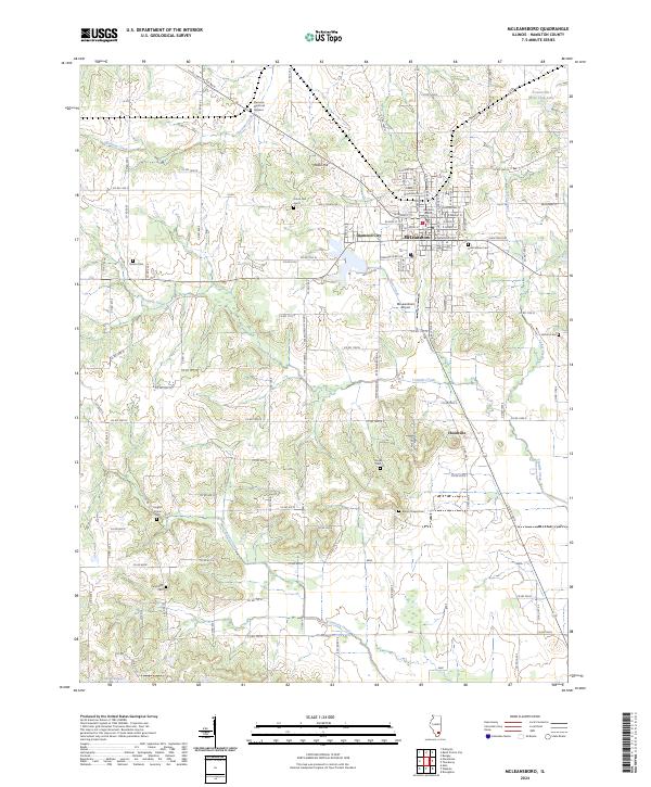
Mc Leansboro serves as the central hub for this 1940s landscape, where the Louisville and Nashville railroad cuts a diagonal path through the prairie. The map reveals a dense network of rural infrastructure, characterized by an exceptionally high concentration of country schools and churches that served the agricultural townships of Dahlgren, Pendleton, and Knights Prairie. Small settlements like Piopolis and Delafield appear as vital local junctions amidst the drainage basins of Tenmile Creek and the Big Muddy River.
Find a feature on this map
90 named features on this map. Tap any name to fly to it.
Don’t see what you’re looking for? This feature index may not catch every label — zoom into the map to look around manually.
Map Details
Date Portrayed1942
Date Published1970
PublisherU.S. Geological Survey
Map TypeTopographic
Scale1:62,500
Physical Dimensions16.9 x 20.8 inches
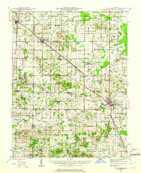
Editions of this 1942 McLeansboro Map
2 editions found
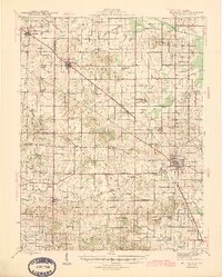
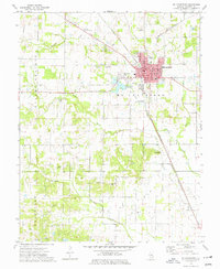
Historical Maps of McLeansboro Through Time
8 maps found
Featured Locations
Source Details
SourceU.S. Geological Survey
CopyrightPublic Domain