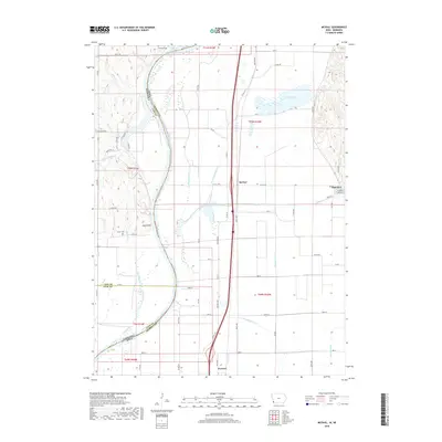
2018 Map of McPaul
USGS Topo · Published 2018About this map
The Missouri River defines the western edge of this Fremont County landscape, where the shifting waters once dictated state and county lines. Near the sharp bend at Jones Point, the boundary between Iowa and Nebraska follows the river's path, marking the intersection of Cass and Otoe counties with the Iowa shoreline. The low-lying bottomlands are characterized by an extensive drainage network, including the Scott Township Ditch, Mule Slough Ditch, and Mustard Lateral, which manage the hydrology around Forneys Lake.
Find a feature on this map
58 named features on this map. Tap any name to fly to it.
Don’t see what you’re looking for? This feature index may not catch every label — zoom into the map to look around manually.
Map Details
Editions of this 2018 McPaul Map
This is the sole edition of this map. No revisions or reprints were ever made.
Other maps of this area

1907 · Nebraska City
USGS Topo · 1:62,500

1935 · Nehawka
USGS Topo · 1:48,000

1939 · Hamburg
USGS Topo · 1:62,500

1940 · Nehawka
USGS Topo · 1:62,500

1941 · Hamburg
USGS Topo · 1:62,500

1955 · Nebraska City
USGS Topo · 1:250,000

1956 · Murray
USGS Topo · 1:24,000

1956 · Rock Bluff
USGS Topo · 1:24,000

1957 · Nebraska City
USGS Topo · 1:250,000

1957 · Tabor
USGS Topo · 1:24,000