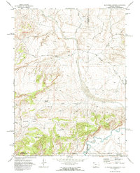
1970 Map of McPherson Springs
USGS Topo · Published 1973About this map
The Little Snake River carves through this high-desert boundary between Wyoming and Colorado, defining a landscape shaped by water scarcity and resource extraction. The 1970 field data reveals a reliance on isolated water sources like McPherson Springs, the Lower Soap Holes, and ephemeral catchments such as Clay Flat Reservoir. These points were critical anchors for the area's stockmen, connected by a network of established Stock Trails that navigate the varied terrain of the Cherokee Basin and the eroded slopes of the Poison Buttes.
Find a feature on this map
31 named features on this map. Tap any name to fly to it.
Don’t see what you’re looking for? This feature index may not catch every label — zoom into the map to look around manually.
Map Details
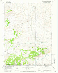
Editions of this 1970 McPherson Springs Map
2 editions found
Other maps of this area

1916 · Craig
USGS Topo · 1:125,000

1954 · Vernal
USGS Topo · 1:250,000

1954 · Rawlins
USGS Topo · 1:250,000

1954 · Rock Springs
USGS Topo · 1:250,000

1954 · Craig
USGS Topo · 1:250,000

1957 · Craig
USGS Topo · 1:250,000

1958 · Rawlins
USGS Topo · 1:250,000

1958 · Vernal
USGS Topo · 1:250,000

1958 · Rock Springs
USGS Topo · 1:250,000

1958 · Craig
USGS Topo · 1:250,000