
1964 Map of Meade Island
USGS Topo · Published 1966About this map
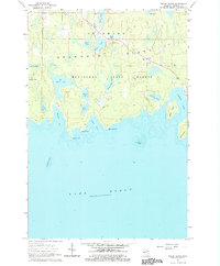
Drummond Island is depicted here during the mid-1960s, defined by its complex shoreline along the northern reaches of Lake Huron. The landscape is dominated by the Munuscong State Forest, characterized by numerous inland water bodies such as Maki Lake, Pats Lake, and Knutsen Lake. These small lakes and the surrounding wetlands suggest a terrain shaped by glacial activity and drainage patterns typical of the Upper Peninsula's islands. Cultural features are concentrated near the settlement of Lincoln, where the Finnish Cem points to the heritage of the local population.
Find a feature on this map
33 named features on this map. Tap any name to fly to it.
Don’t see what you’re looking for? This feature index may not catch every label — zoom into the map to look around manually.
Map Details
Editions of this 1964 Meade Island Map
2 editions found
Other maps of this area

1954 · Alpena
USGS Topo · 1:250,000

1957 · Alpena
USGS Topo · 1:250,000

1958 · Alpena
USGS Topo · 1:250,000

1961 · Blind River
USGS Topo · 1:250,000
1964 · Marble Head
USGS Topo · 1:24,000

1964 · Drummond
USGS Topo · 1:24,000
1964 · Whitney Bay
USGS Topo · 1:24,000
1964 · Drummond SE
USGS Topo · 1:24,000
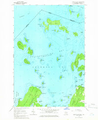
1964 · Burnt Island
USGS Topo · 1:24,000
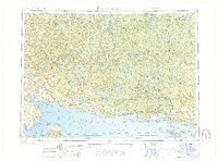
1968 · Blind River
USGS Topo · 1:250,000