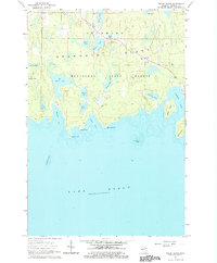
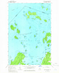
1964 Map of Meade Island
USGS Topo · Published 1978About this map
Drummond Island is depicted here as a dense mosaic of inland lakes and coastal features, characterized by the remote reach of the Munuscong State Forest in northern Michigan. The small settlement of Lincoln and the nearby Finnish Cem reflect the localized heritage of this part of Chippewa County, while the Drummond Lookout Tower stands as a prominent landmark overlooking the timbered interior.
Find a feature on this map
33 named features on this map. Tap any name to fly to it.
Don’t see what you’re looking for? This feature index may not catch every label — zoom into the map to look around manually.
Map Details
Editions of this 1964 Meade Island Map
2 editions found
Other maps of this area

1954 · Alpena
USGS Topo · 1:250,000

1957 · Alpena
USGS Topo · 1:250,000

1958 · Alpena
USGS Topo · 1:250,000

1961 · Blind River
USGS Topo · 1:250,000
1964 · Marble Head
USGS Topo · 1:24,000

1964 · Drummond
USGS Topo · 1:24,000
1964 · Whitney Bay
USGS Topo · 1:24,000

1964 · Meade Island
USGS Topo · 1:24,000
1964 · Drummond SE
USGS Topo · 1:24,000
1964 · Burnt Island
USGS Topo · 1:24,000