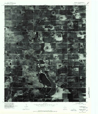
1976 Map of Meadow SW
USGS Topo · Published 1978About this map
Meadow sits at the northern end of this mid-1970s orthophotoquad, serving as a concentrated hub of human settlement amidst the vast agricultural grid of the High Plains. The aerial imagery, captured by the U.S. Geological Survey in March 1976, reveals a landscape defined by circular pivot irrigation patterns and a strict rectangular road network. To the south, the irregular shoreline of Rich Lake breaks the geometric regularity of the terrain. This map provides a clear visual record of West Texas land use, showing the intersection of rail infrastructure and rural development before the expansion of modern irrigation techniques transformed the region's water table.
Find a feature on this map
2 named features on this map. Tap any name to fly to it.
Don’t see what you’re looking for? This feature index may not catch every label — zoom into the map to look around manually.
Map Details
Editions of this 1976 Meadow SW Map
This is the sole edition of this map. No revisions or reprints were ever made.
Other maps of this area

1954 · Brownfield
USGS Topo · 1:250,000

1957 · Meadow
USGS Topo · 1:62,500

1958 · Brownfield
USGS Topo · 1:250,000

1962 · Brownfield
USGS Topo · 1:250,000

1965 · Lockettville
USGS Topo · 1:24,000

1969 · Brownfield East
USGS Topo · 1:24,000

1969 · Sundown SE
USGS Topo · 1:24,000

1969 · Mound Lake
USGS Topo · 1:24,000
1969 · Brownfield West
USGS Topo · 1:24,000
1976 · Meadow NE
USGS Topo · 1:24,000