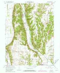
1963 Map of Mecca
USGS Topo · Published 1981About this map
Big Raccoon Creek meanders through the heart of Parke County, framing a landscape defined by its 19th-century river-and-rail infrastructure. This area, updated with photorevisions into the early 1980s, highlights the enduring layout of small Indiana communities like Mecca and Rosedale. The presence of numerous structures labeled Covered Bridge underscores the region's famous vernacular architecture, preserved alongside long-standing transportation corridors like the Louisville and Nashville Railroad.
Find a feature on this map
37 named features on this map. Tap any name to fly to it.
Don’t see what you’re looking for? This feature index may not catch every label — zoom into the map to look around manually.
Map Details
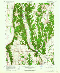
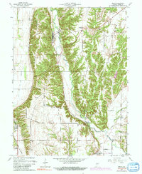
Editions of this 1963 Mecca Map
3 editions found
Other maps of this area

1950 · Rosedale
USGS Topo · 1:24,000

1950 · Brazil West
USGS Topo · 1:24,000

1950 · New Goshen
USGS Topo · 1:24,000

1951 · Clinton
USGS Topo · 1:24,000

1951 · Mecca
USGS Topo · 1:24,000

1952 · Catlin
USGS Topo · 1:24,000

1953 · Indianapolis
USGS Topo · 1:250,000

1955 · Rockville
USGS Topo · 1:24,000

1955 · Montezuma
USGS Topo · 1:24,000

1955 · Dana
USGS Topo · 1:24,000