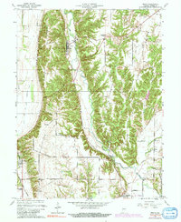
1963 Map of Mecca
USGS Topo · Published 1991About this map
The town of Mecca serves as a focal point in this landscape of western Indiana, where the Big Indian Creek joins the Wabash river valley. Industrial activity is evident near the town center, marked by the presence of Kilns and the Mecca Sch, while the surrounding terrain is defined by the winding paths of Raccoon Creek and Little Raccoon Creek. A notable concentration of historic timber spans, including the Roseville Covered Bridge and the Harry Evans Covered Bridge, highlights the traditional engineering used to navigate the area's many waterways.
Find a feature on this map
39 named features on this map. Tap any name to fly to it.
Don’t see what you’re looking for? This feature index may not catch every label — zoom into the map to look around manually.
Map Details
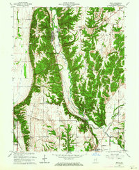
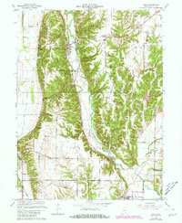
Editions of this 1963 Mecca Map
3 editions found
Other maps of this area

1950 · Rosedale
USGS Topo · 1:24,000

1950 · Brazil West
USGS Topo · 1:24,000

1950 · New Goshen
USGS Topo · 1:24,000

1951 · Clinton
USGS Topo · 1:24,000

1951 · Mecca
USGS Topo · 1:24,000

1952 · Catlin
USGS Topo · 1:24,000

1953 · Indianapolis
USGS Topo · 1:250,000

1955 · Rockville
USGS Topo · 1:24,000

1955 · Montezuma
USGS Topo · 1:24,000

1955 · Dana
USGS Topo · 1:24,000