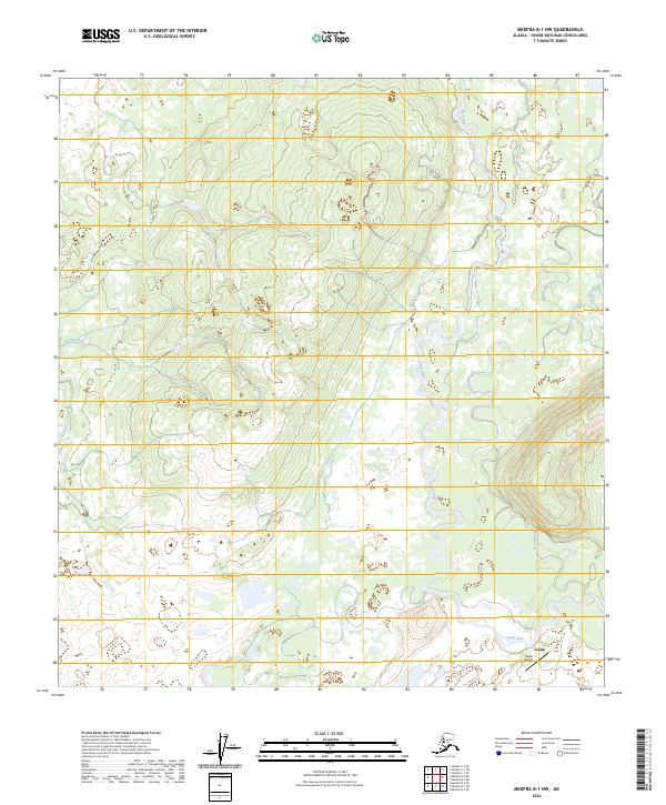
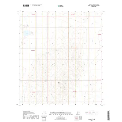
2024 Map of Medfra B-1 NW
USGS Topo · Published 2024About this map
Telida sits at the edge of a complex waterway network where the Swift Fork meanders through the landscape. This area of the Yukon-Koyukuk Census Area is defined by its seasonal water features, including the winding Red Slough and Pontag Creek, which carve through the low-lying terrain. The presence of the Telida Airport near the settlement underscores the reliance on bush aviation for connectivity in this part of Alaska. Mapping by the U.S. Geological Survey details the township and range boundaries, such as t24s r29e, which provide the underlying structure for land management in this sparsely populated interior region. The landscape's character is shaped entirely by these shifting watercourses and the small, isolated footprint of human habitation.
Find a feature on this map
9 named features on this map. Tap any name to fly to it.
Don’t see what you’re looking for? This feature index may not catch every label — zoom into the map to look around manually.
Map Details
Editions of this 2024 Medfra B-1 NW Map
This is the sole edition of this map. No revisions or reprints were ever made.
Other maps of this area

1950 · Medfra
USGS Topo · 1:250,000

1958 · Medfra C-2
USGS Topo · 1:63,360

1958 · Medfra B-2
USGS Topo · 1:63,360

1958 · Medfra C-1
USGS Topo · 1:63,360

1958 · Medfra B-1
USGS Topo · 1:63,360

1959 · Medfra
USGS Topo · 1:250,000
2019 · Medfra C-2 SE
USGS Topo · 1:25,000
2019 · Medfra B-1 SE
USGS Topo · 1:25,000
2019 · Medfra B-1 NW
USGS Topo · 1:25,000
2019 · Medfra C-1 SE
USGS Topo · 1:25,000