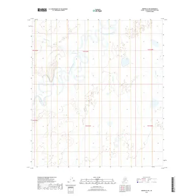
2019 Map of Medfra B-2 NE
USGS Topo · Published 2019About this map
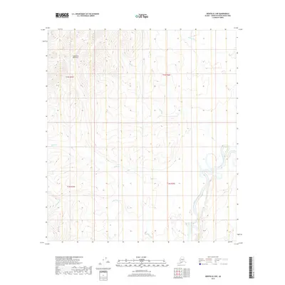
The North Fork Kuskokwim River dominates this interior Alaskan landscape, winding through the Yukon-Koyukuk region in a complex series of tight meanders and oxbow lakes. This aquatic-oriented terrain is defined by the shifting course of the river, which serves as the primary geographical anchor for the surrounding wilderness. Smaller tributaries such as Hardscrabble Cr and Pontag Cr feed into the main waterway, carving subtle drainage patterns into the low-lying basin. The absence of roads or established settlements emphasizes the remote, water-defined character of this territory, where the river system provides the only natural corridors through the wetlands and brush. Researchers interested in the hydrology of the Kuskokwim drainage will find the intricate shoreline detail and river-bend formations precisely documented in this modern survey.
Find a feature on this map
9 named features on this map. Tap any name to fly to it.
Don’t see what you’re looking for? This feature index may not catch every label — zoom into the map to look around manually.
Map Details
Editions of this 2019 Medfra B-2 NE Map
This is the sole edition of this map. No revisions or reprints were ever made.
Other maps of this area

1950 · Medfra
USGS Topo · 1:250,000

1958 · Medfra C-2
USGS Topo · 1:63,360

1958 · Medfra B-2
USGS Topo · 1:63,360

1958 · Medfra C-1
USGS Topo · 1:63,360

1958 · Medfra B-1
USGS Topo · 1:63,360

1959 · Medfra
USGS Topo · 1:250,000
2019 · Medfra B-2 SW
USGS Topo · 1:25,000
2019 · Medfra C-2 SE
USGS Topo · 1:25,000
2019 · Medfra B-1 NW
USGS Topo · 1:25,000
2019 · Medfra B-2 NW
USGS Topo · 1:25,000