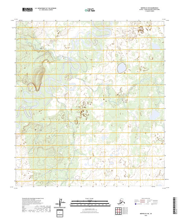
2024 Map of Medfra B-2 NE
USGS Topo · Published 2024About this map
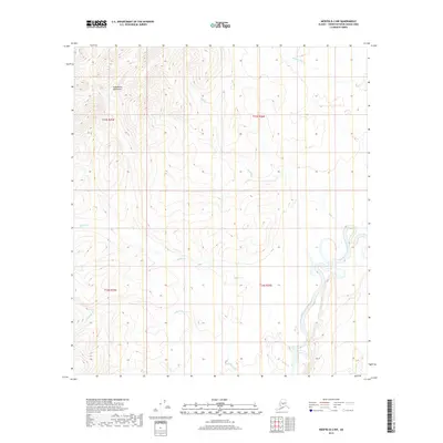
The North Fork Kuskokwim River defines this subarctic landscape within the Yukon-Koyukuk Census Area of Alaska. This 2024 survey documents a remote Interior wilderness where the river’s meandering channel dominates the geography, creating a complex network of oxbow lakes and wetlands. Two significant tributaries, Hardscrabble Creek and Pontag Creek, feed into the primary waterway from the north and east, illustrating the intricate drainage patterns of the region. The map reflects a contemporary state of this vast unpopulated territory, focusing on the natural hydrography and public land divisions within the Alaska Townships of T23S and T24S. It serves as a vital record for understanding the modern hydrology and topographical character of the Kuskokwim basin in an era of shifting northern climates.
Find a feature on this map
9 named features on this map. Tap any name to fly to it.
Don’t see what you’re looking for? This feature index may not catch every label — zoom into the map to look around manually.
Map Details
Editions of this 2024 Medfra B-2 NE Map
This is the sole edition of this map. No revisions or reprints were ever made.
Other maps of this area

1950 · Medfra
USGS Topo · 1:250,000

1958 · Medfra C-2
USGS Topo · 1:63,360

1958 · Medfra B-2
USGS Topo · 1:63,360

1958 · Medfra C-1
USGS Topo · 1:63,360

1958 · Medfra B-1
USGS Topo · 1:63,360

1959 · Medfra
USGS Topo · 1:250,000
2019 · Medfra B-2 SW
USGS Topo · 1:25,000
2019 · Medfra C-2 SE
USGS Topo · 1:25,000
2019 · Medfra B-1 NW
USGS Topo · 1:25,000
2019 · Medfra B-2 NW
USGS Topo · 1:25,000